Ardameri - Loop towards Chortiatis
Last updated: Oct 17, 2026
Difficulty
easy
Length
10.5 km
Duration
3h0m
Elevation Gain
381 m
Route state
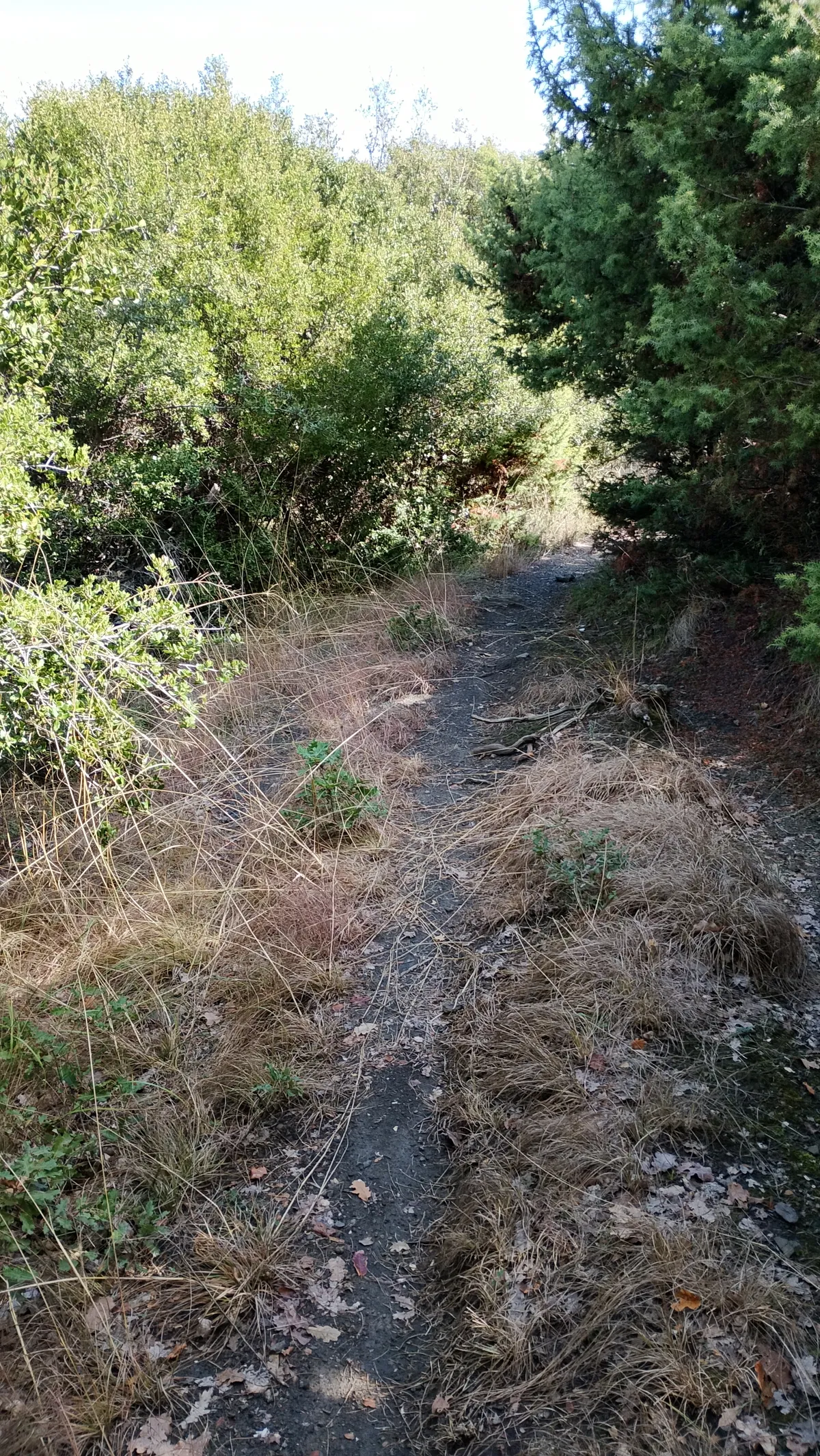
Slightly overgrown
Surface lengths
Paths: 4.2 km
Tracks: 6 km
Roads: 300 m
Crossings
Loop trail
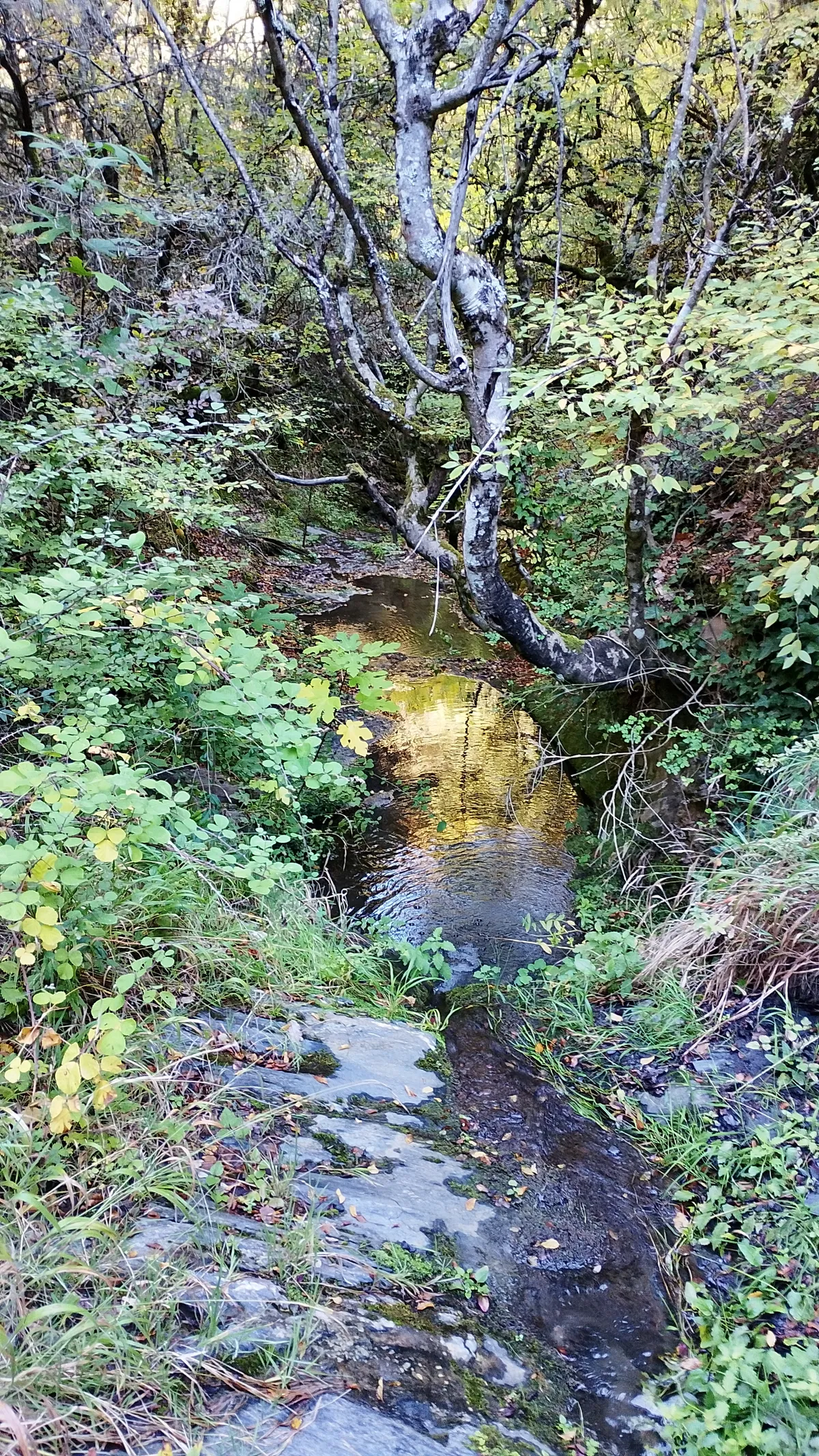
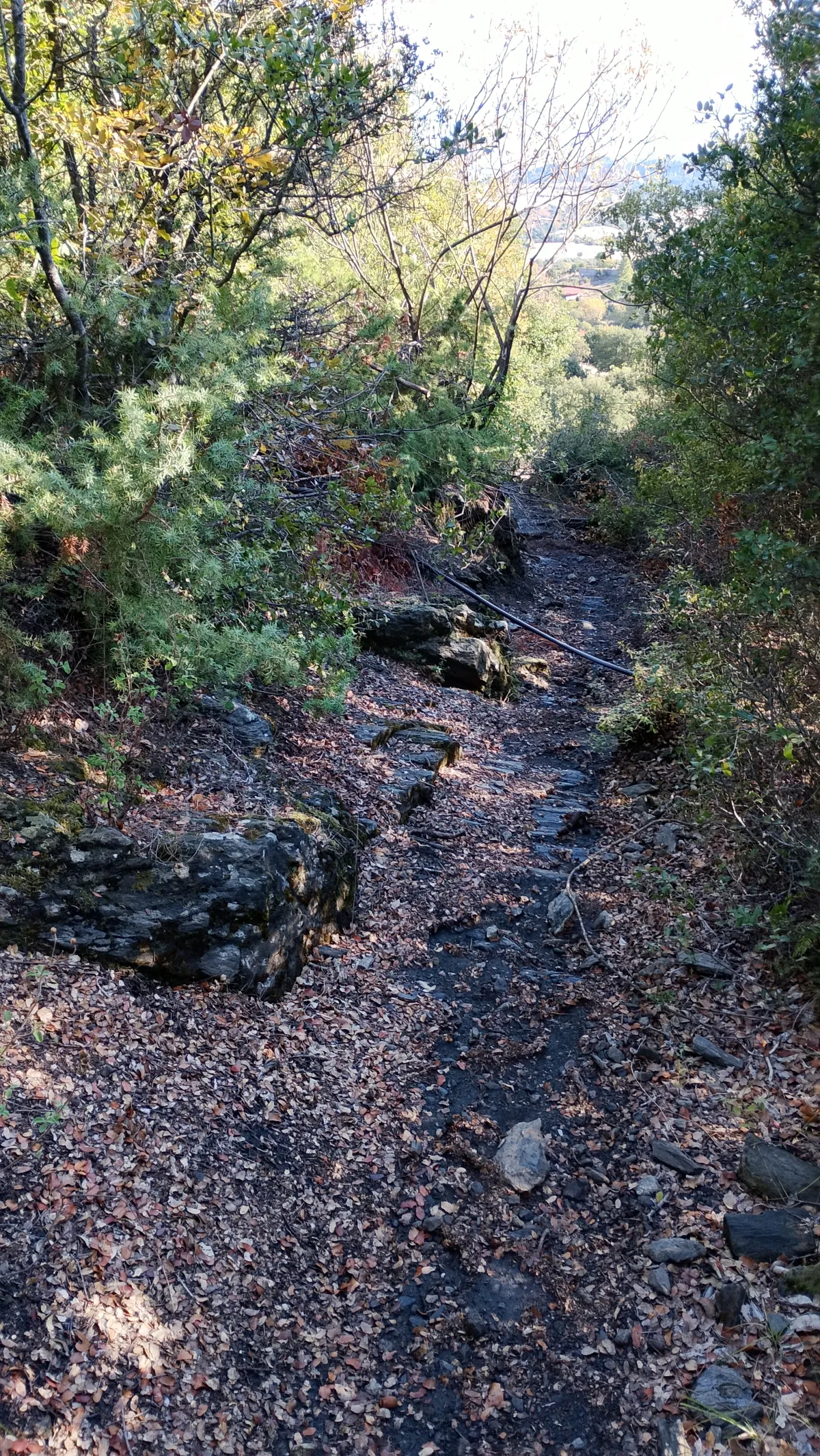
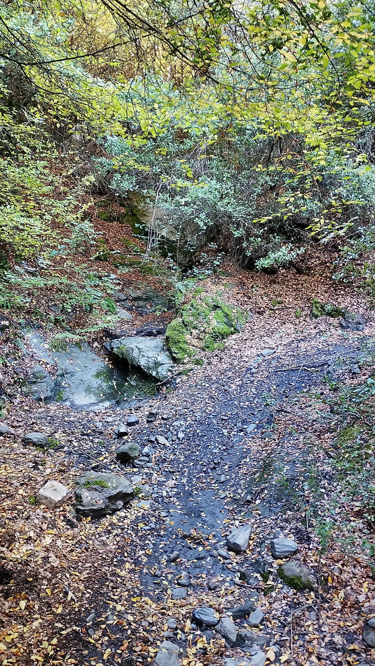
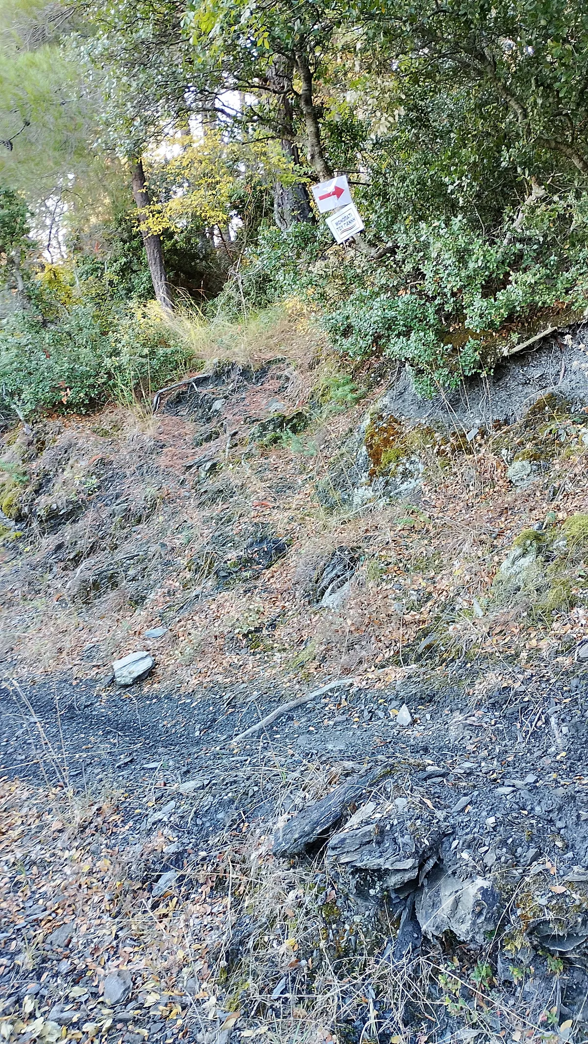
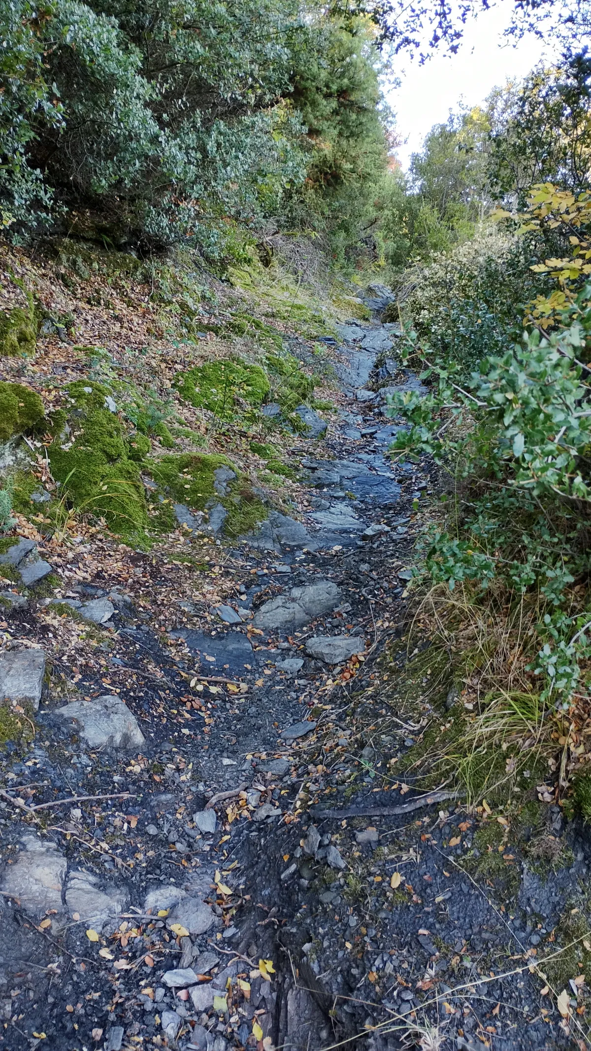
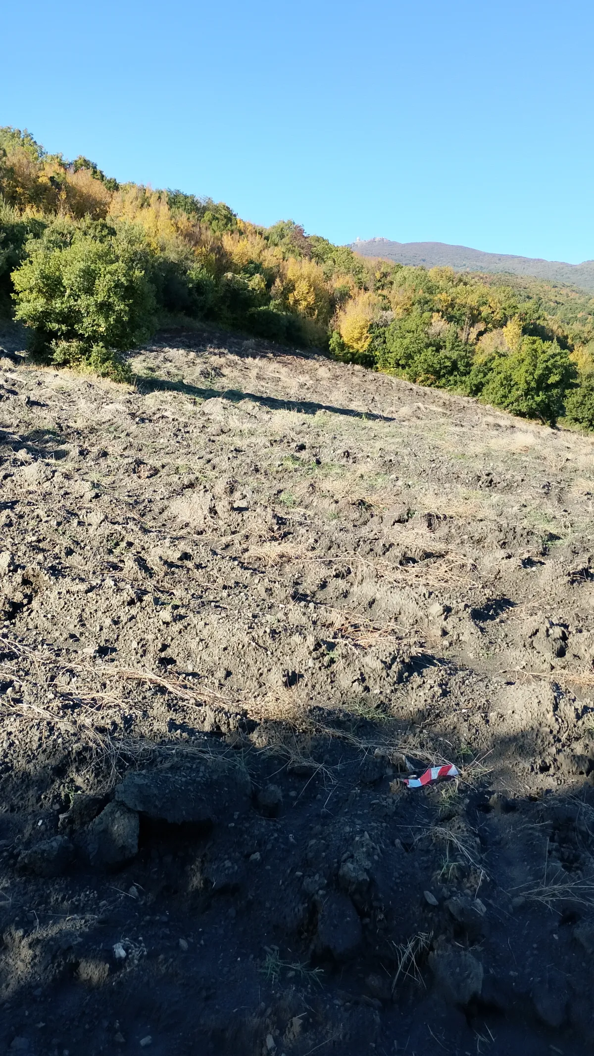
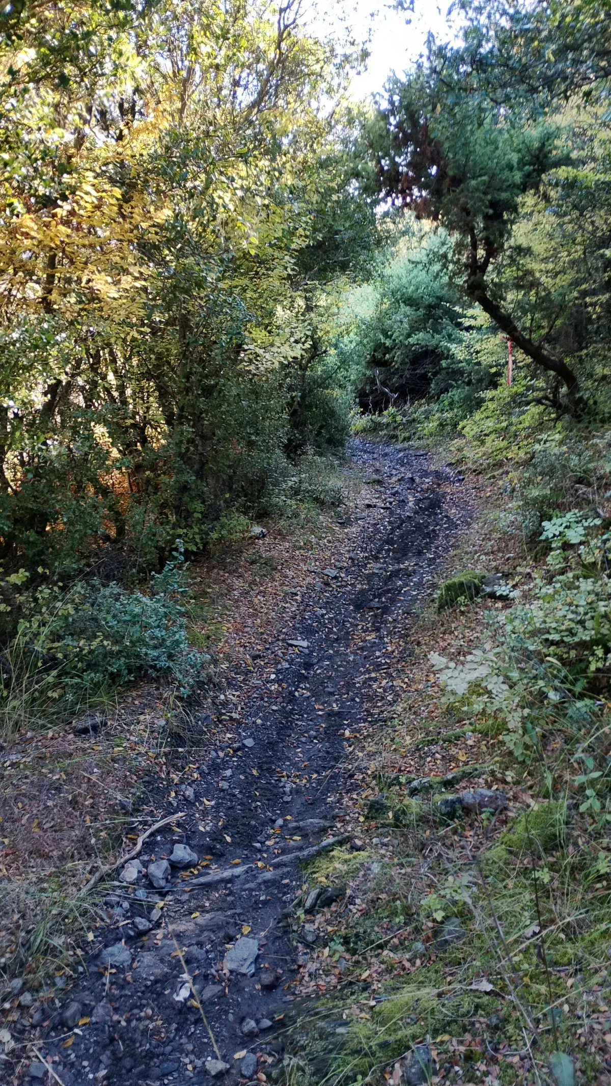
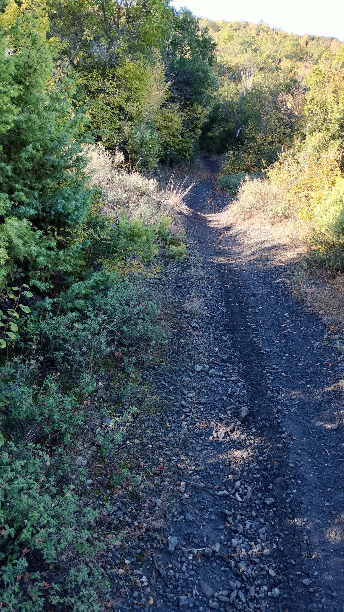
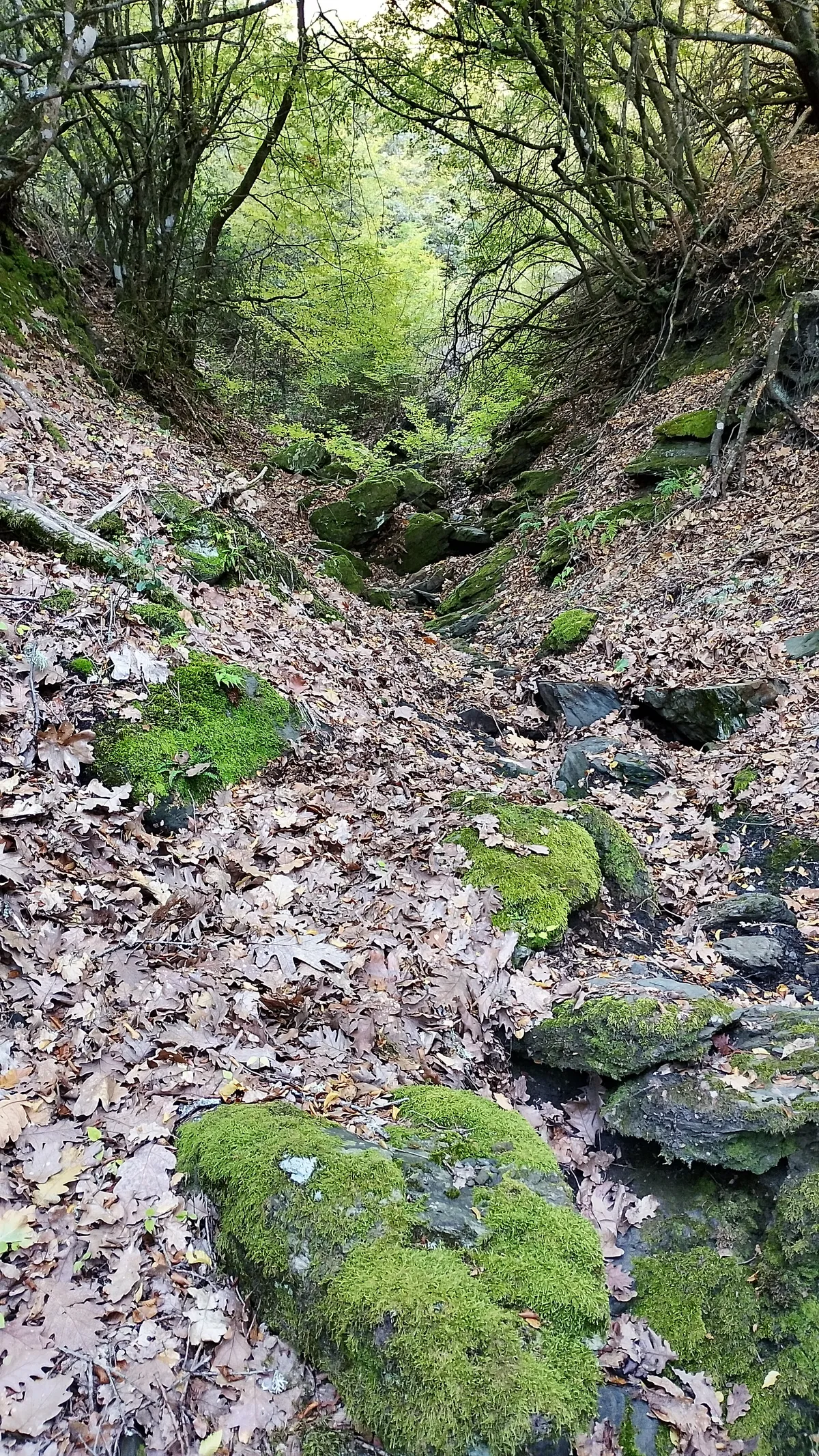
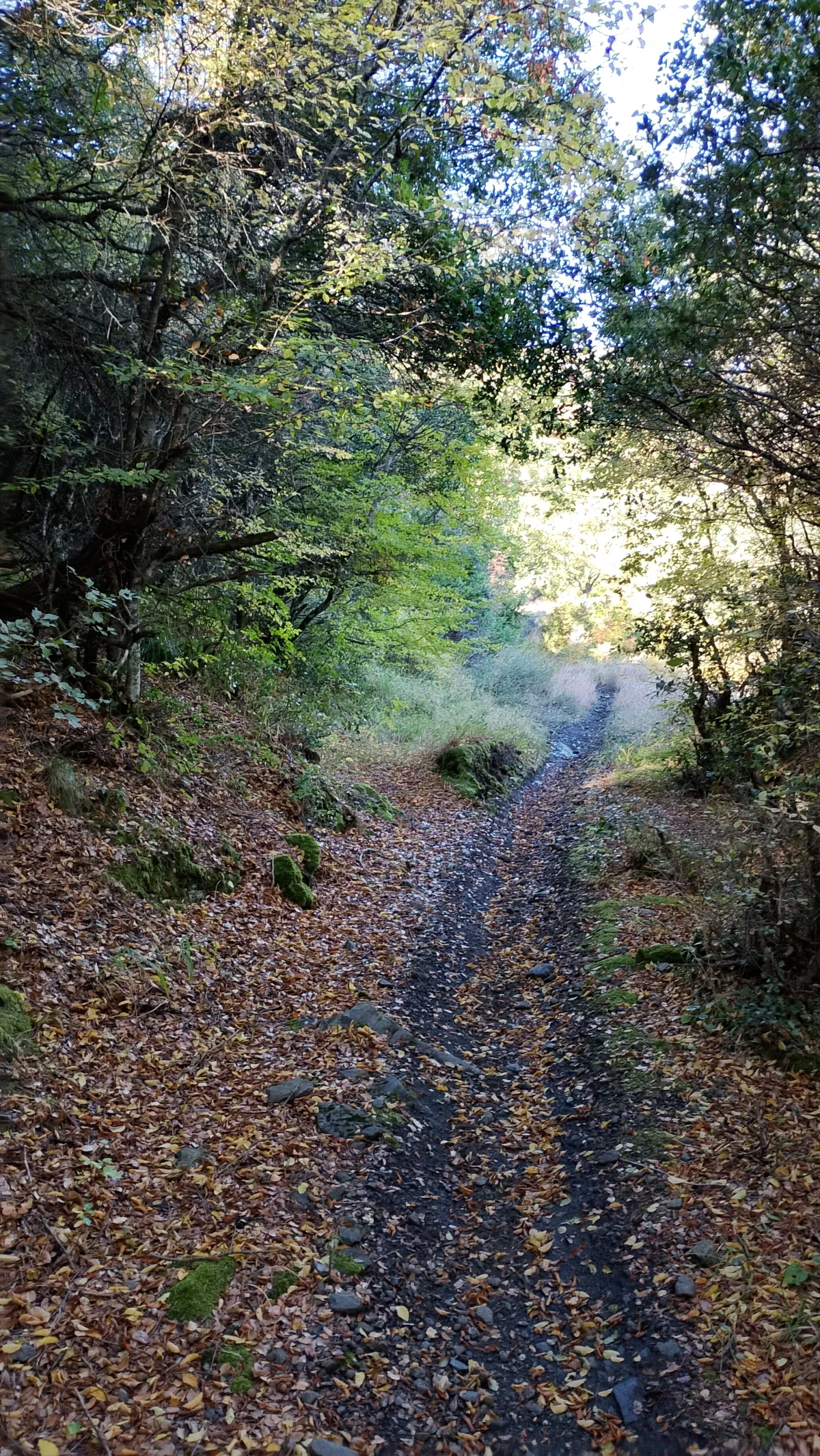
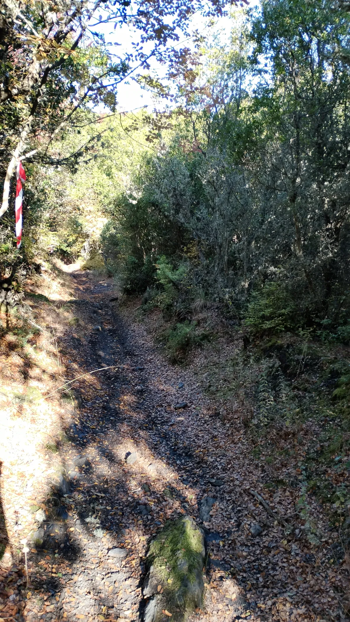
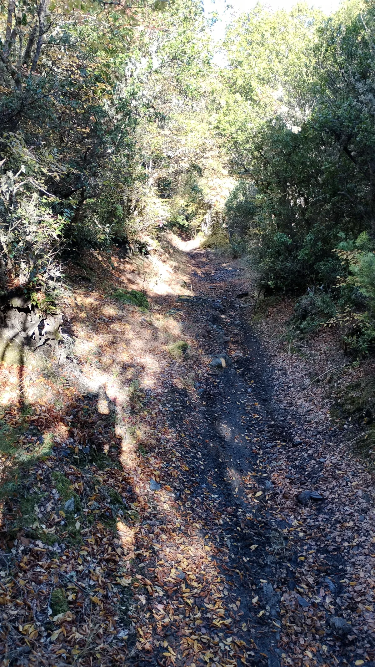
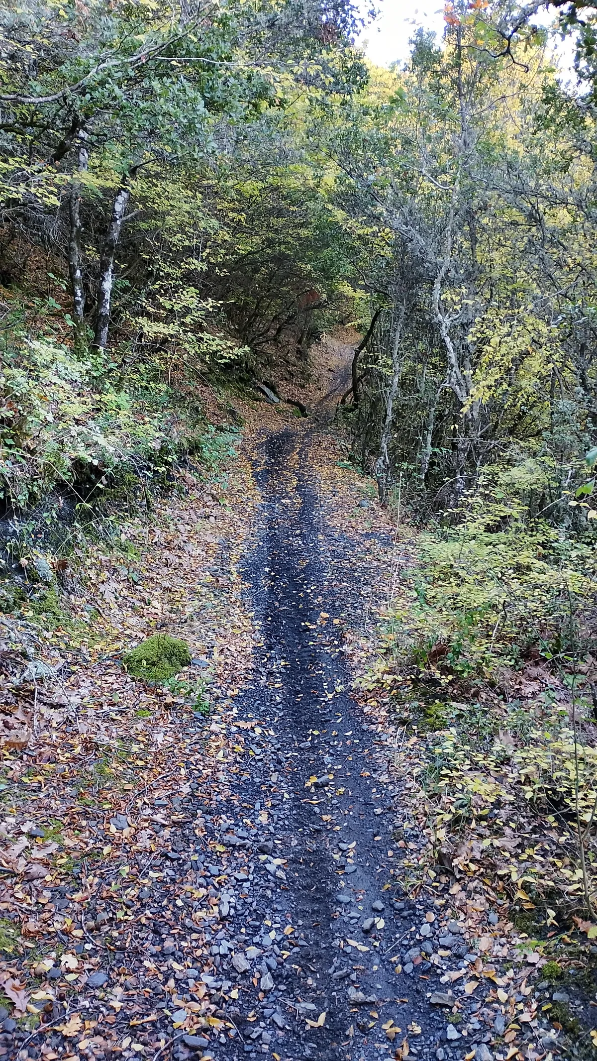
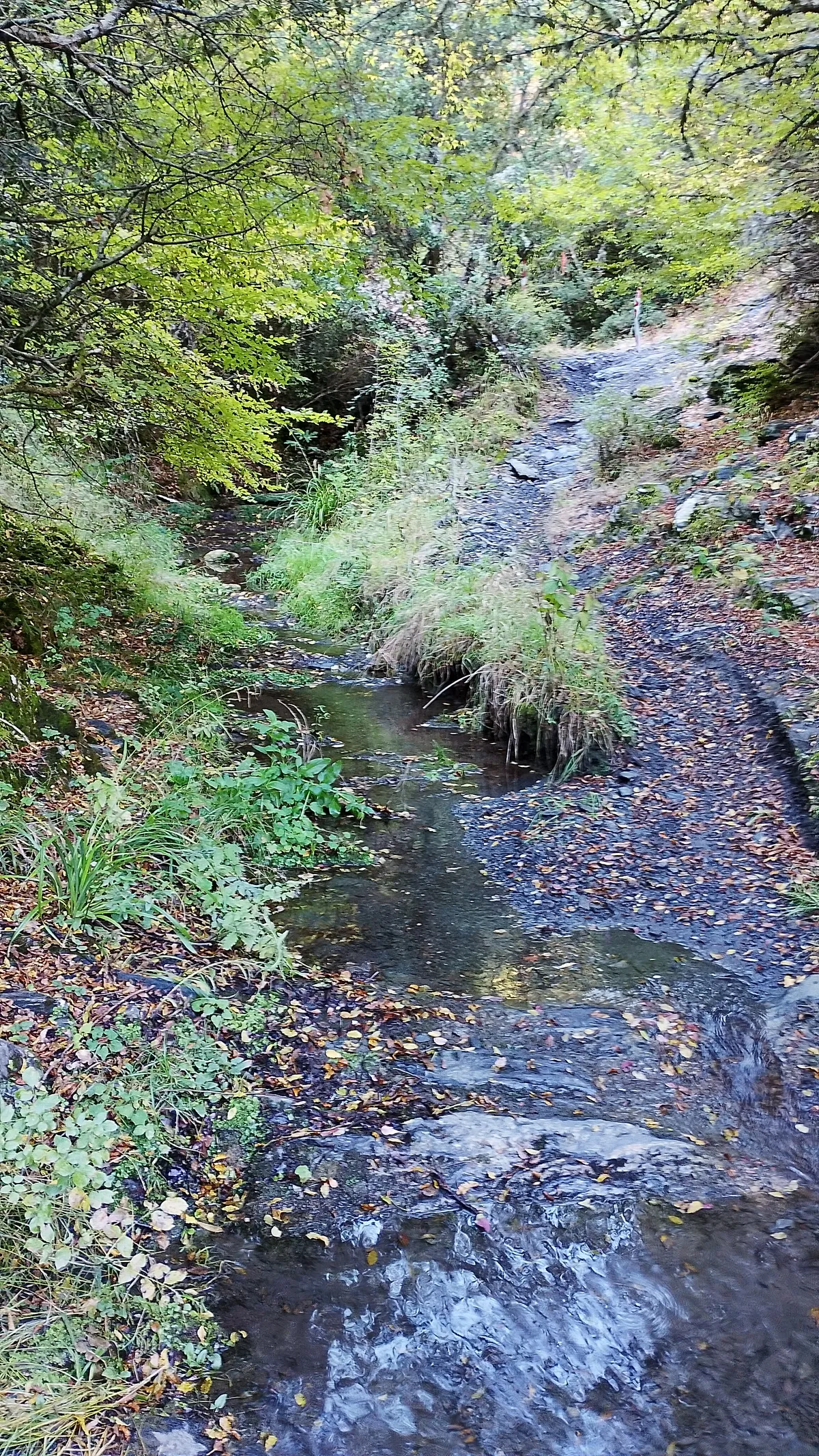
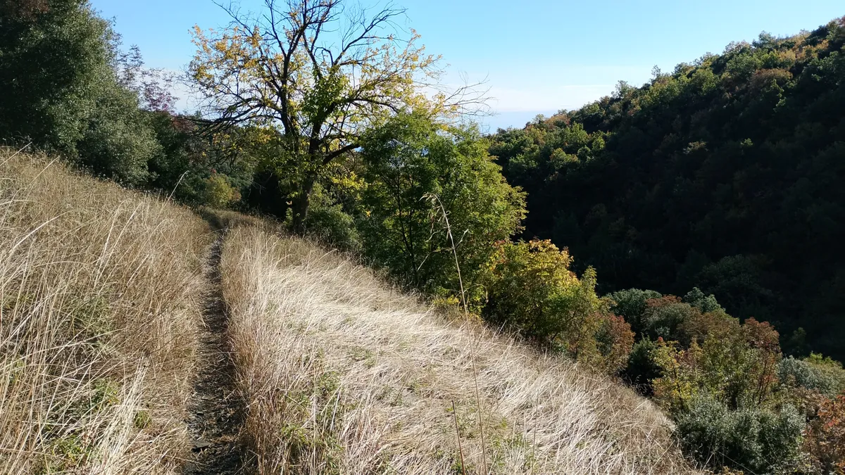
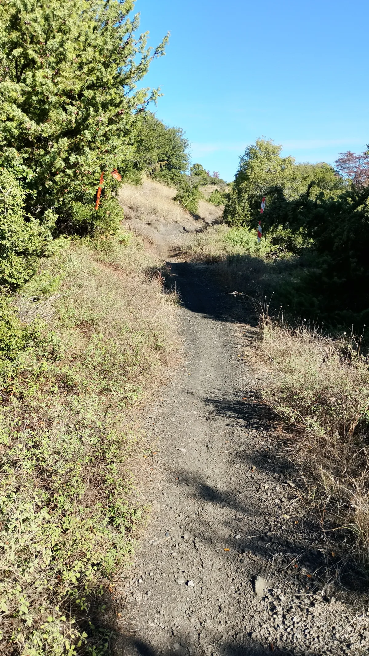
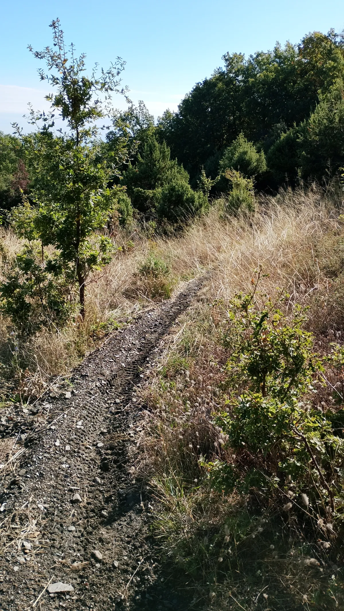
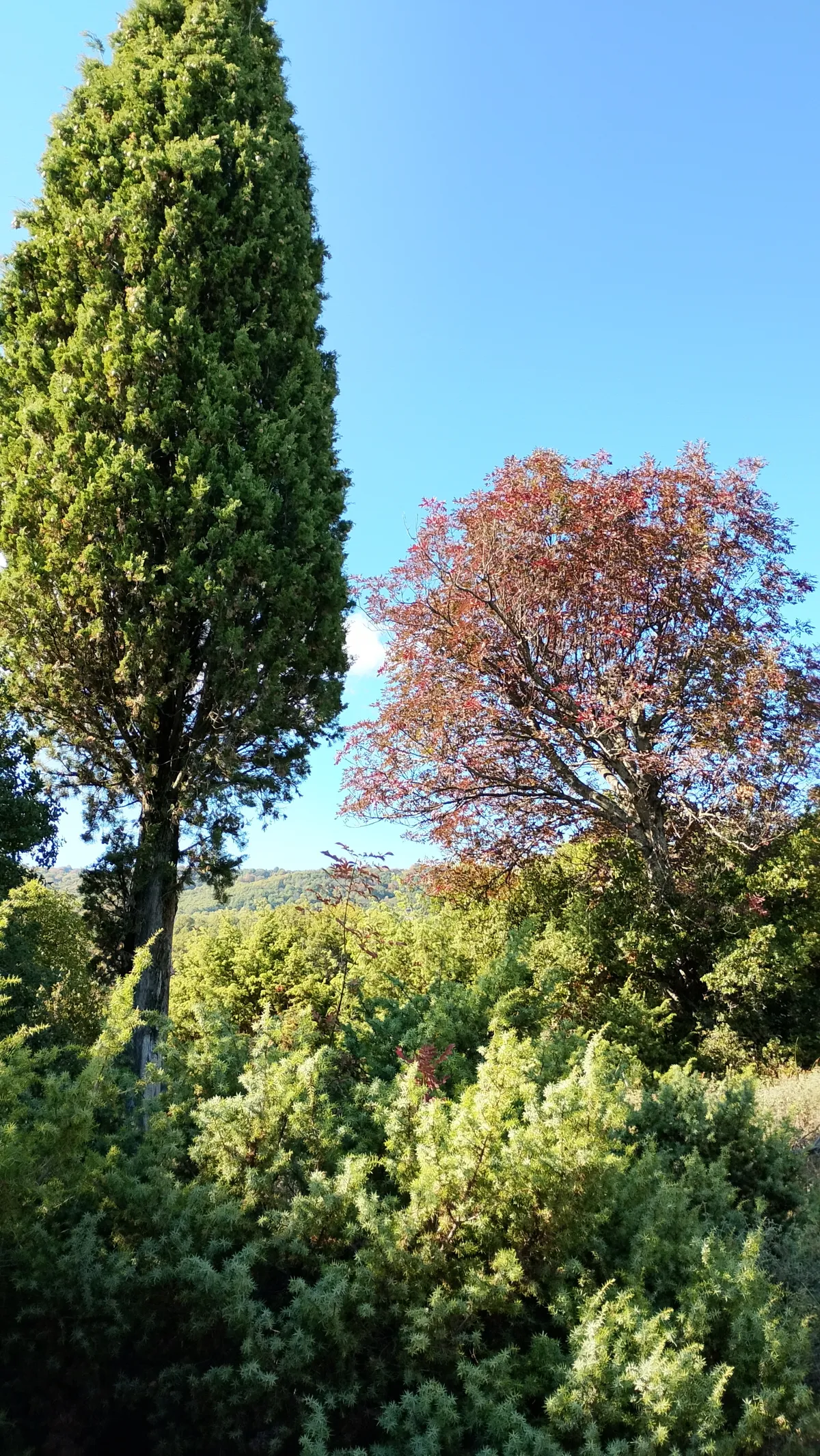
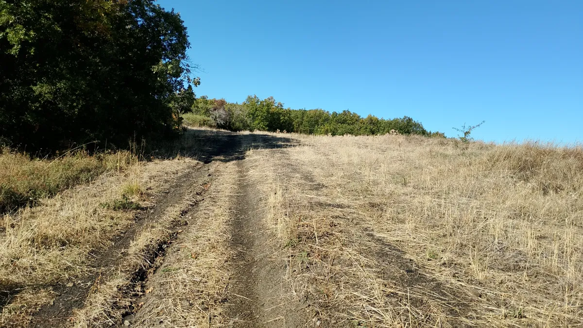
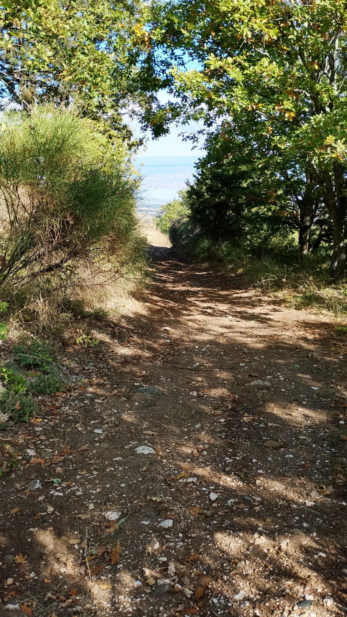
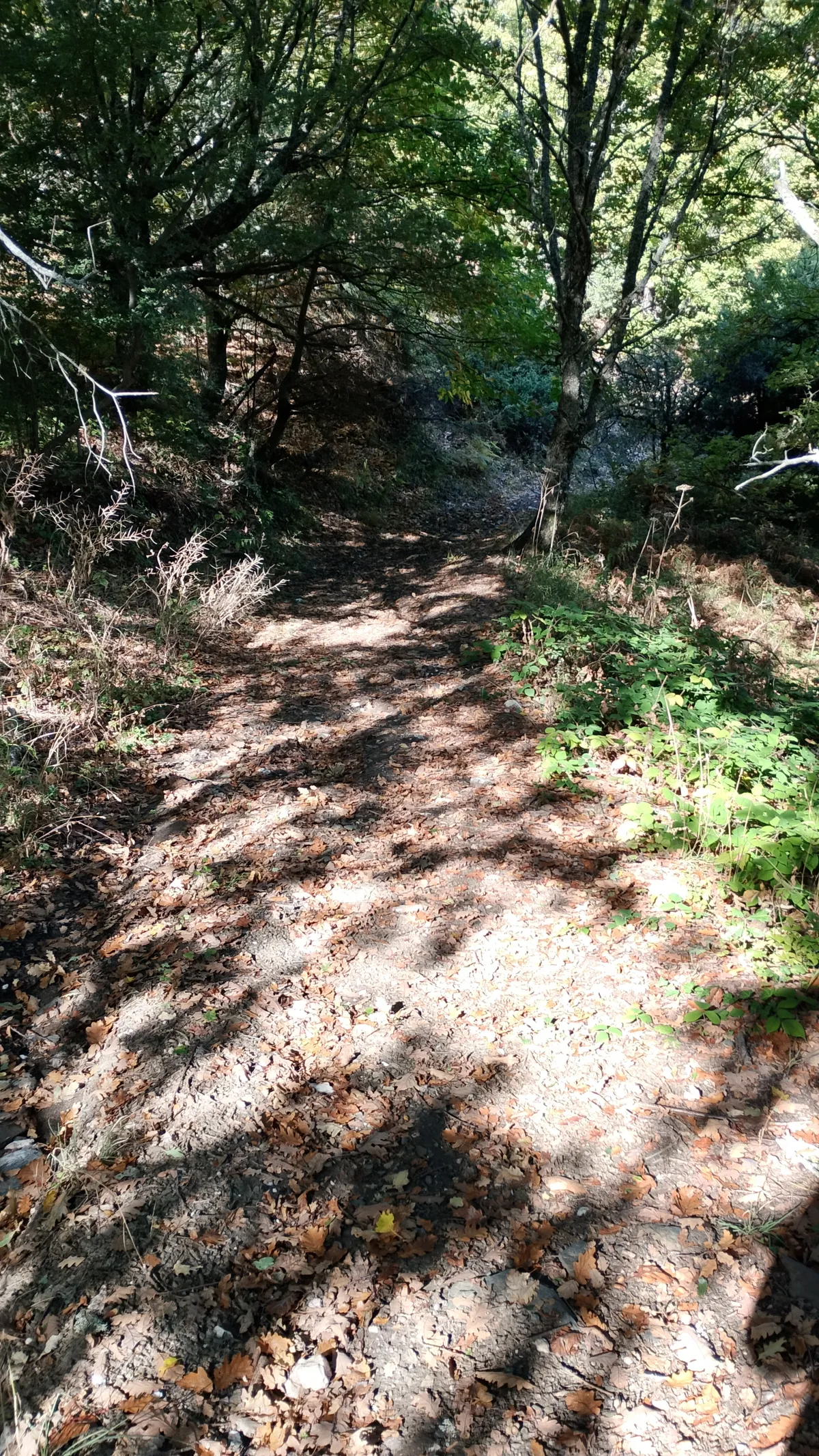
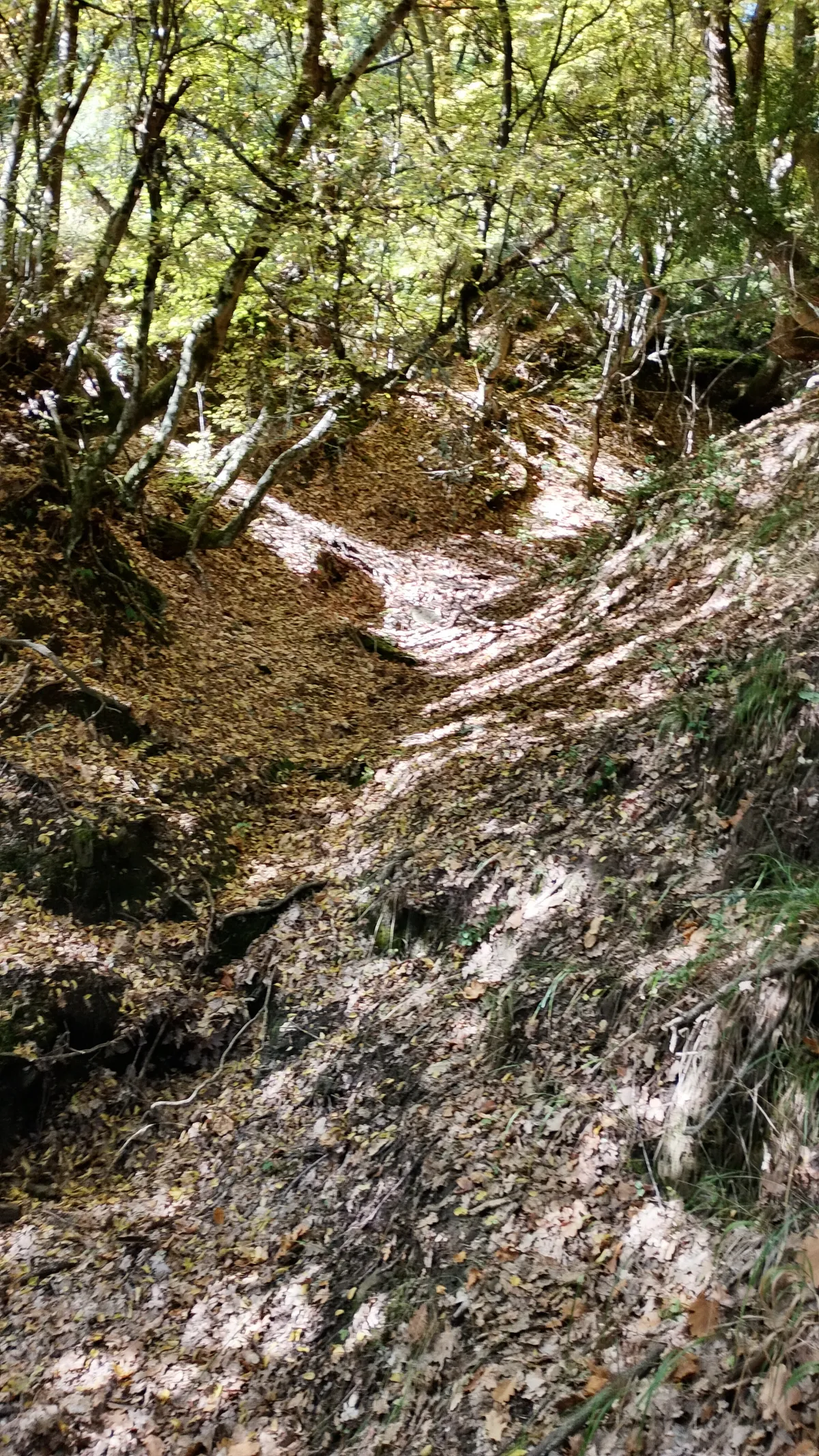
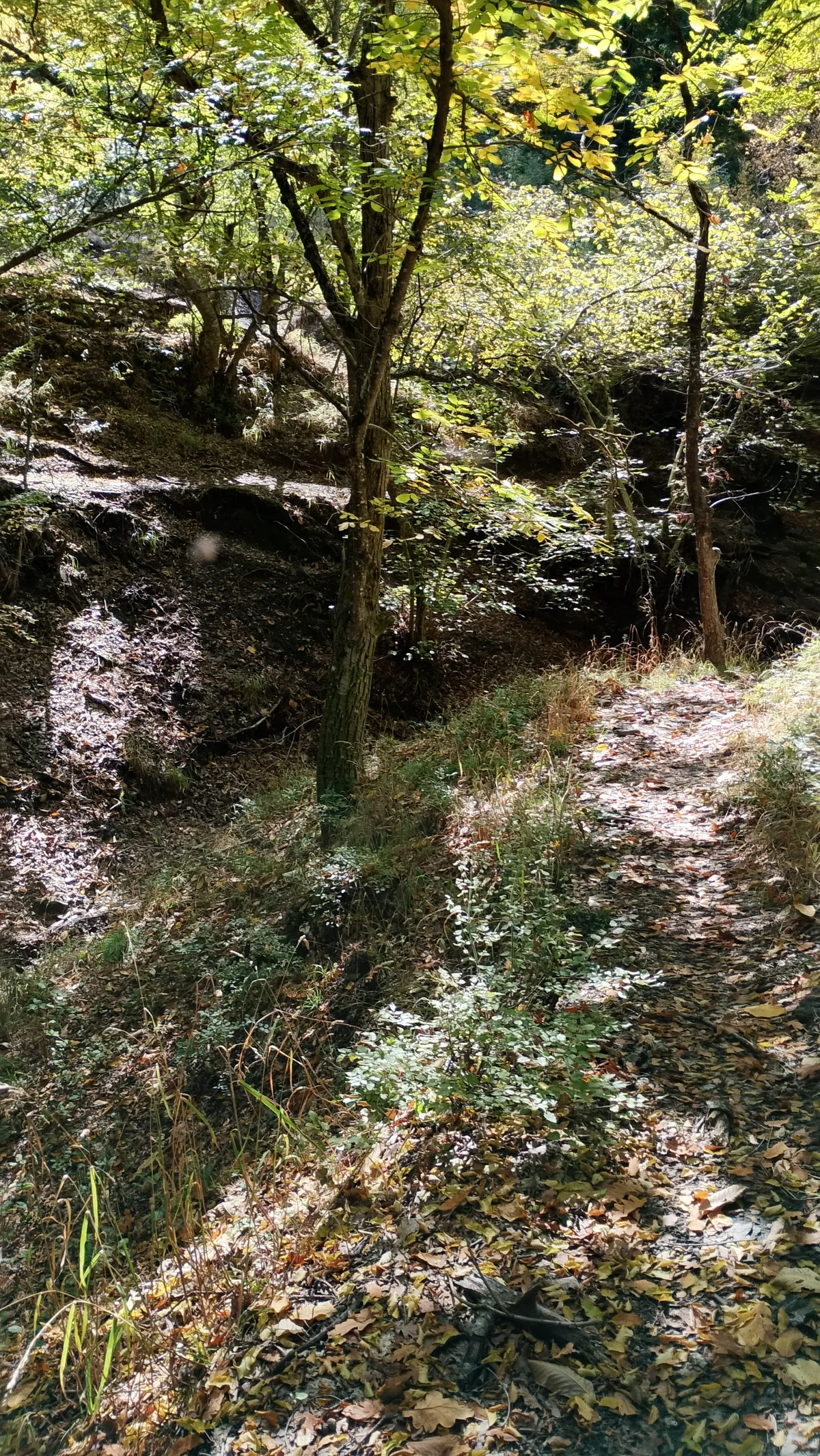
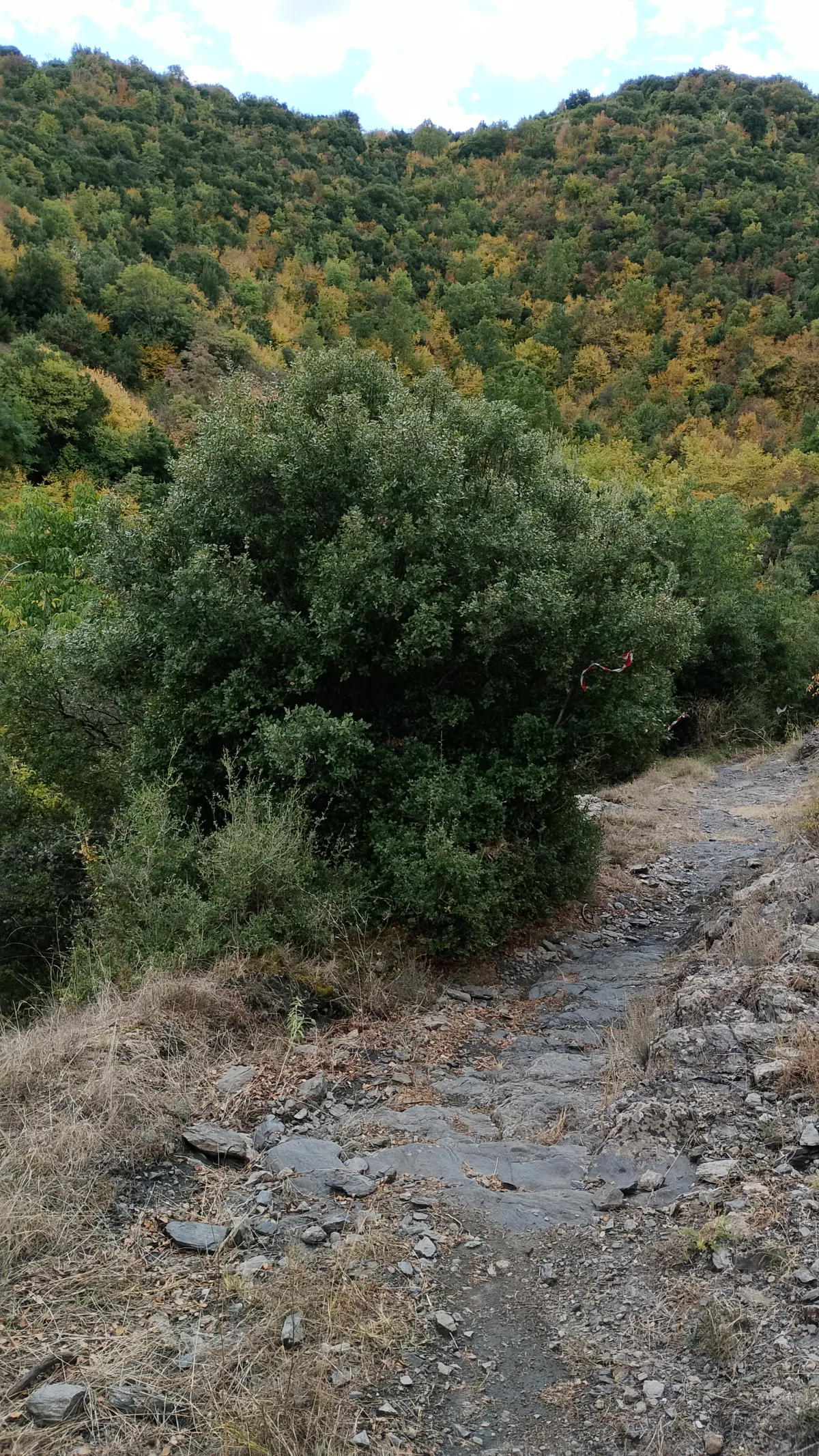
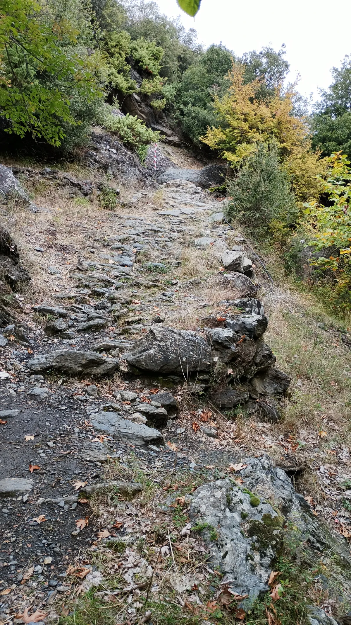
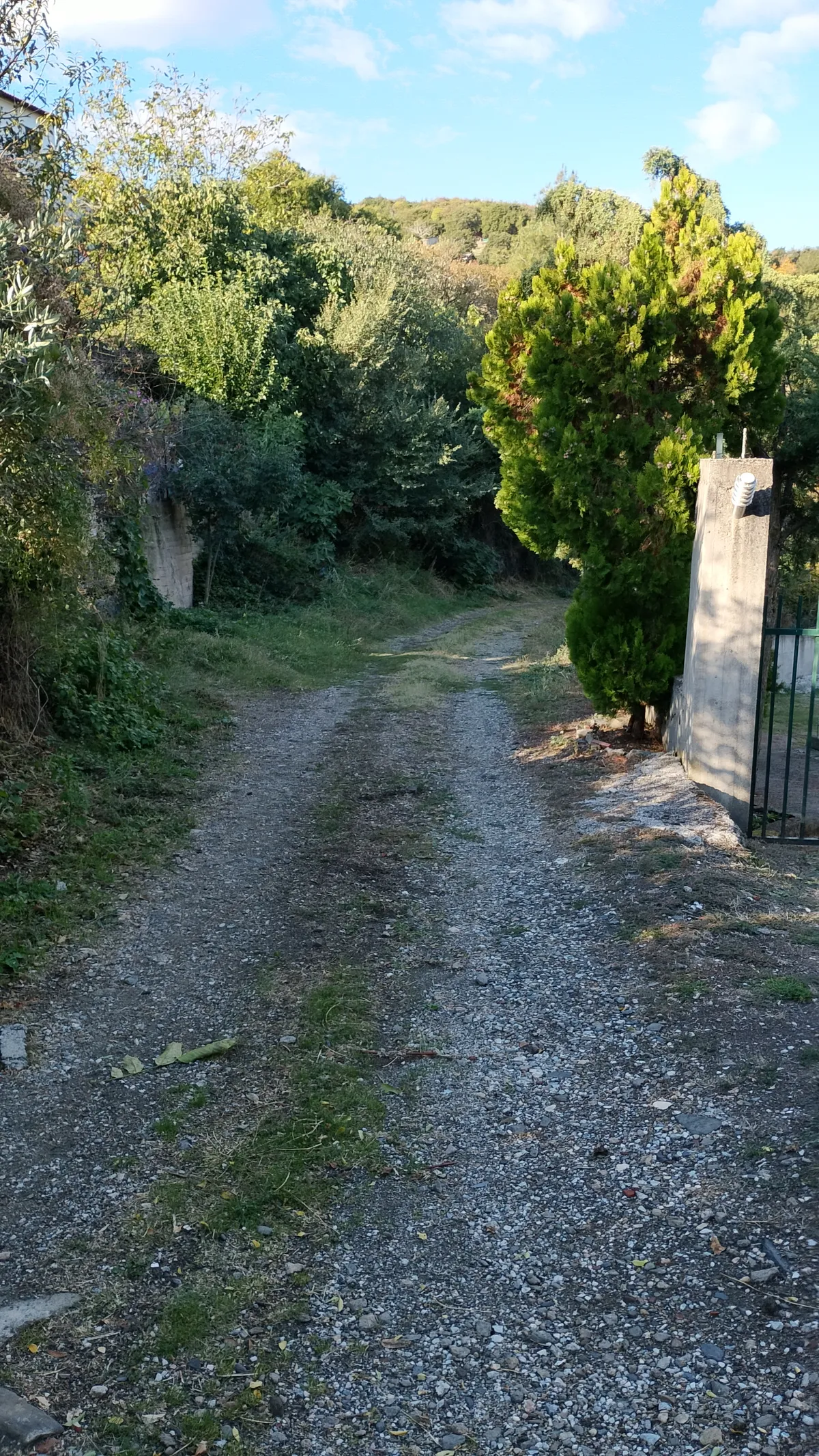
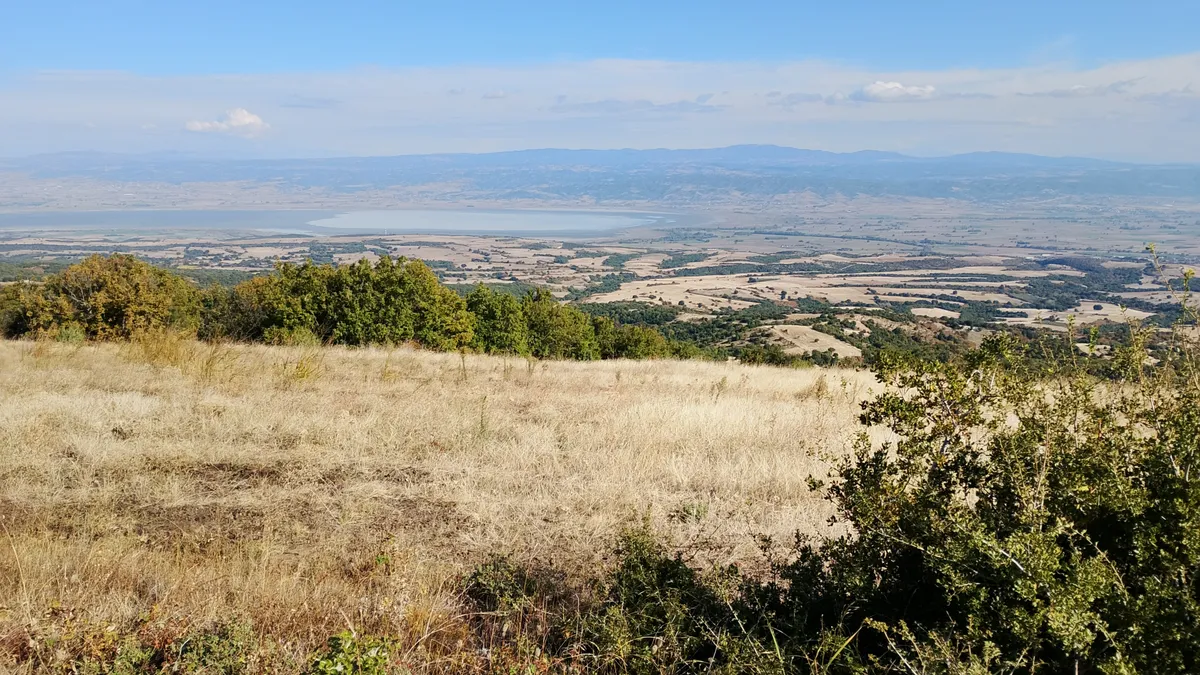
Two trails lead from Ardameri to Chortiatis. Here they are presented as a circular route starting from the village. We begin at the lower square where the bus turns and follow the uphill road to the right until its first sharp bend. There, we enter the trail used by enduro riders, which is well-marked. It initially runs along both sides of a ravine and then, after crossing a field, we enter a wide, beautiful path with smooth, alternating sections of dense kermes oak forest and clearings/old fields. Next, after crossing a large ravine, it meets a forest road. Here, we turn sharply left and continue initially on a path and later on a tractor track that climbs along a ridge and old fields, offering a beautiful view of Lake Volvi. We finally reach an intersection in front of a house and begin descending the small lane to the right of the fence. We descend quite steeply along a ridge with a beautiful, panoramic view and end up at a plateau where a forest road ends and an old stable stands. Caution is needed here. Descending into the grassy hollow to the right of the sheepfold for 100 meters and reaching the edge of the forest, the path becomes visible—initially overgrown with vegetation, but immediately after, wide and clear as it passes through a beautiful deciduous forest. It eventually comes out onto a forest road that has unfortunately been cleared right over its original track. We continue smoothly along the road for 2.5 km, and then trail markers lead us sharply to the right onto a path. Gradually, the path widens and descends toward the large ravine (featuring remnants of a cobblestone path and a retaining wall). After crossing to the other side, it turns into a dirt road and climbs back up toward the village.
Waypoints
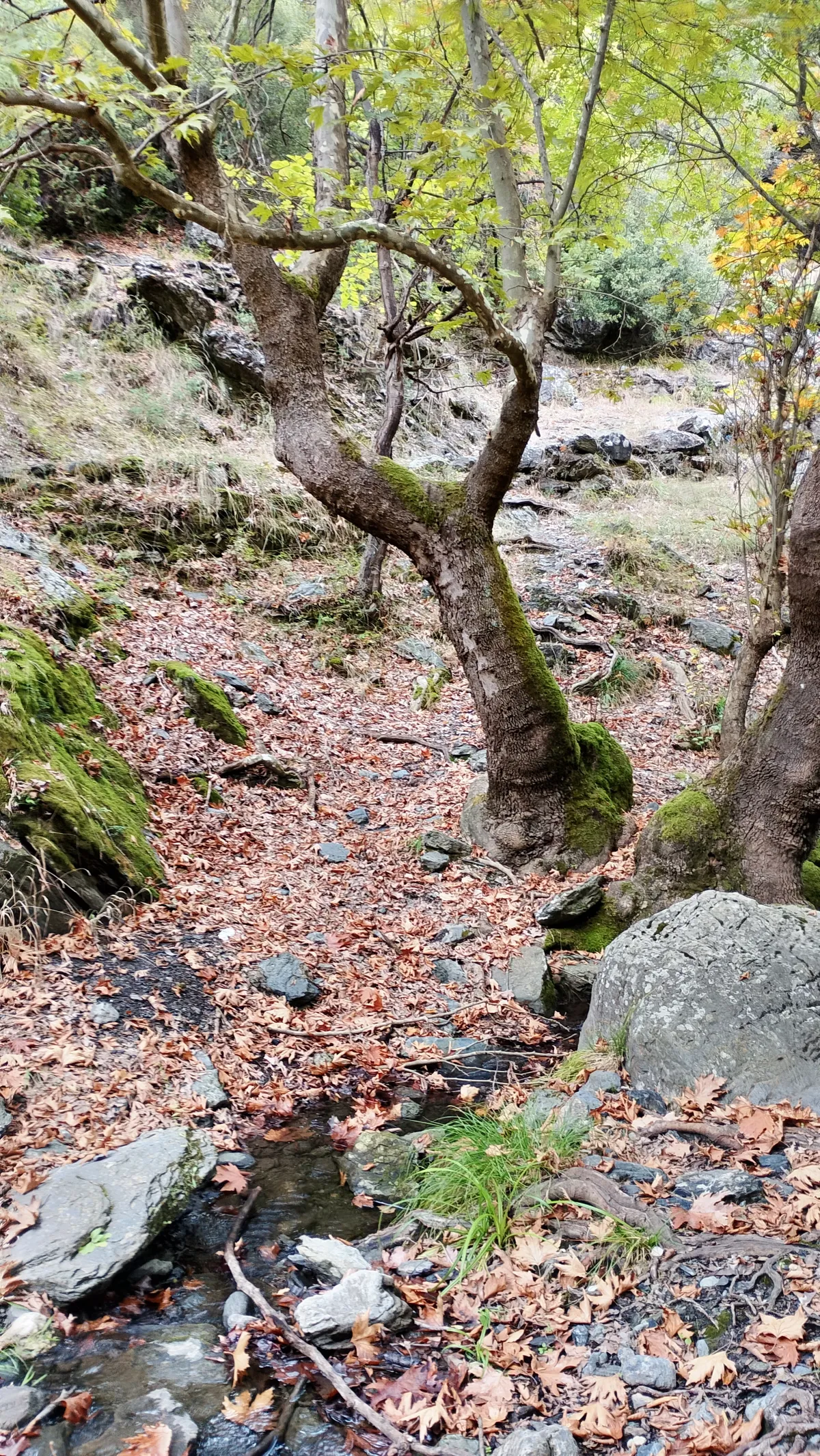
Stream
Crossing a stream with running water
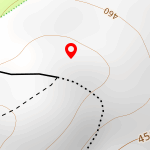
Pen
Old pen on the plateu
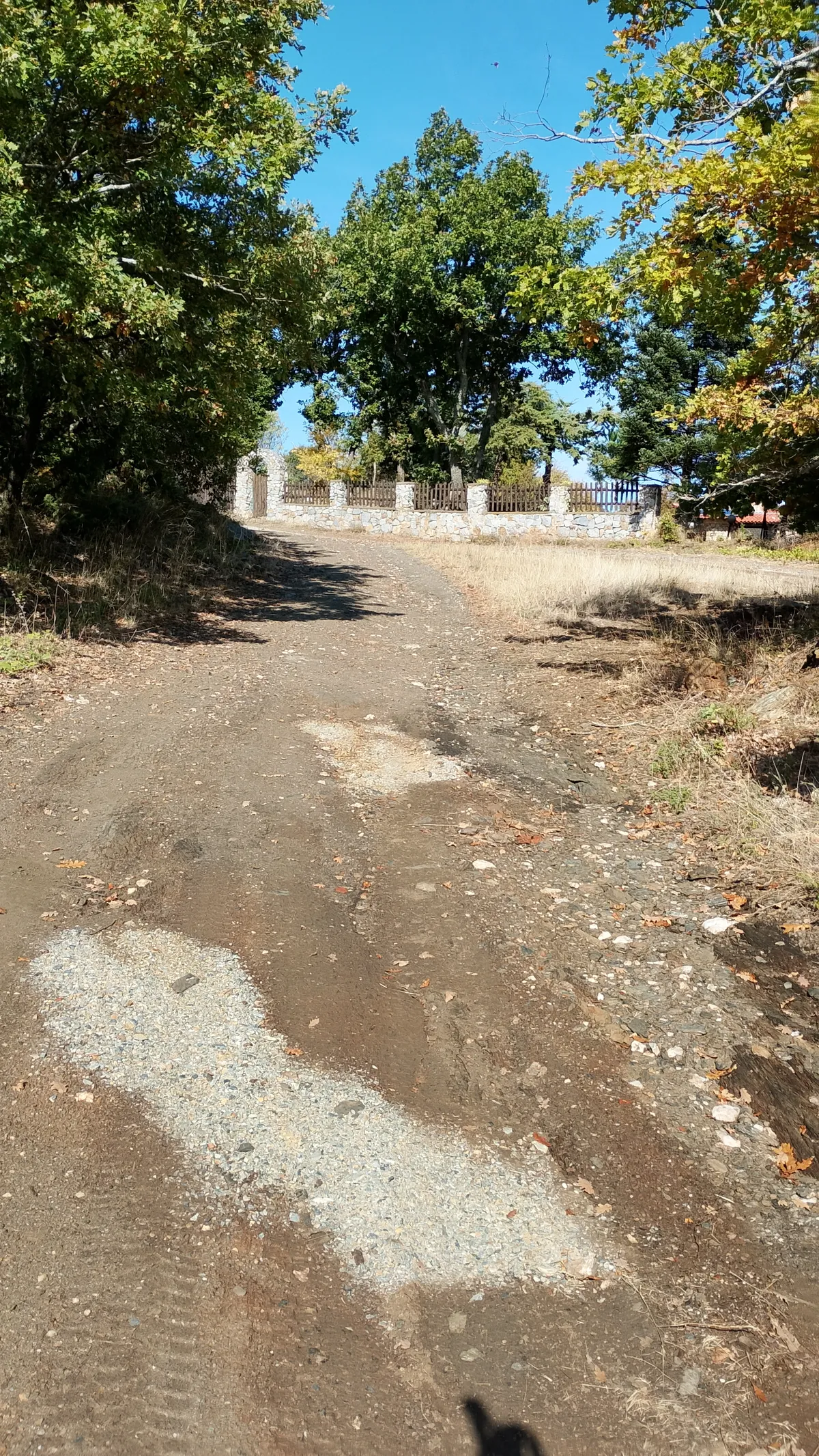
Junction
Road junction in front of a house
Survey Point
Survey point on the ridge
Ravine
Crossing ravine with stone build path