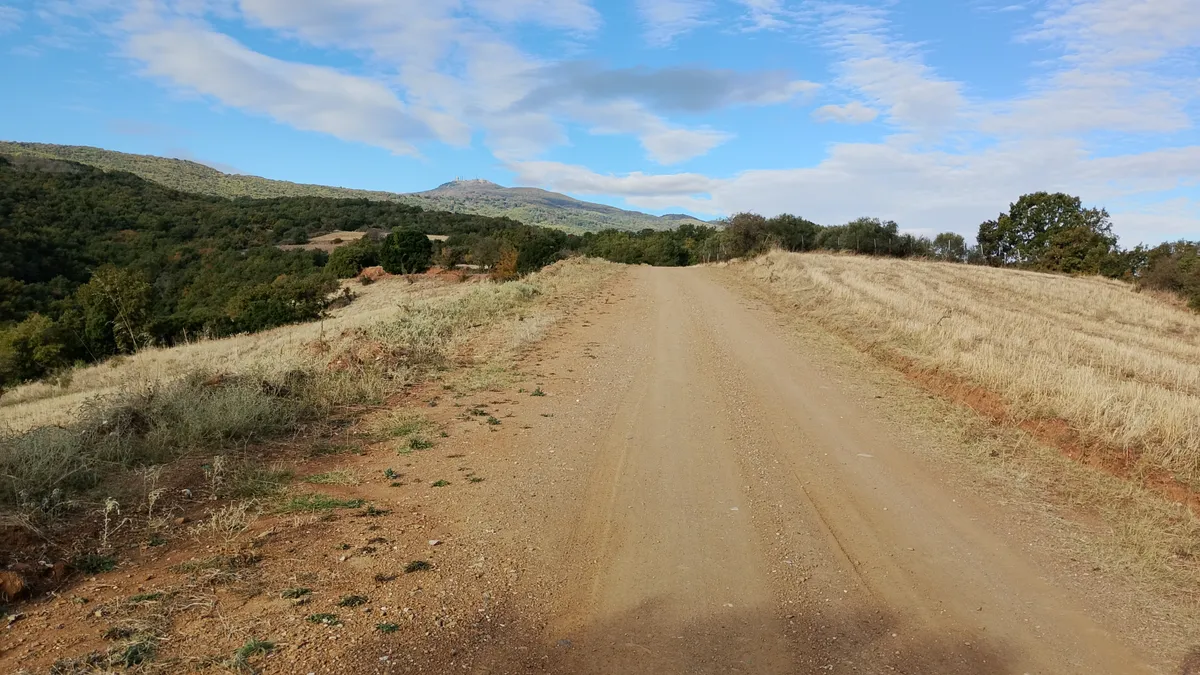
Ardameri - Ag. Triada
Last updated: Oct 19, 2026
Difficulty
medium
Length
5.3 km
Duration
2h0m
Elevation Gain
234 m
Route state
Slightly overgrown
Surface lengths
Paths: 2 km
Tracks: 3 km
Roads: 300 m
Dogs
Historic sites
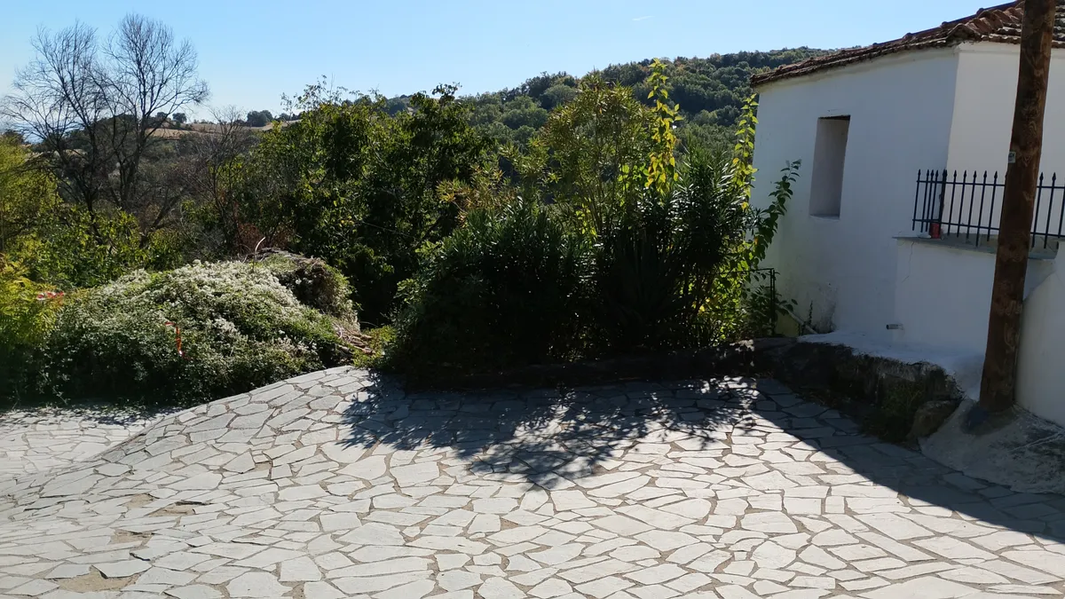
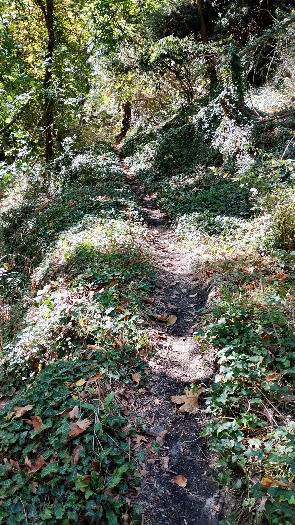
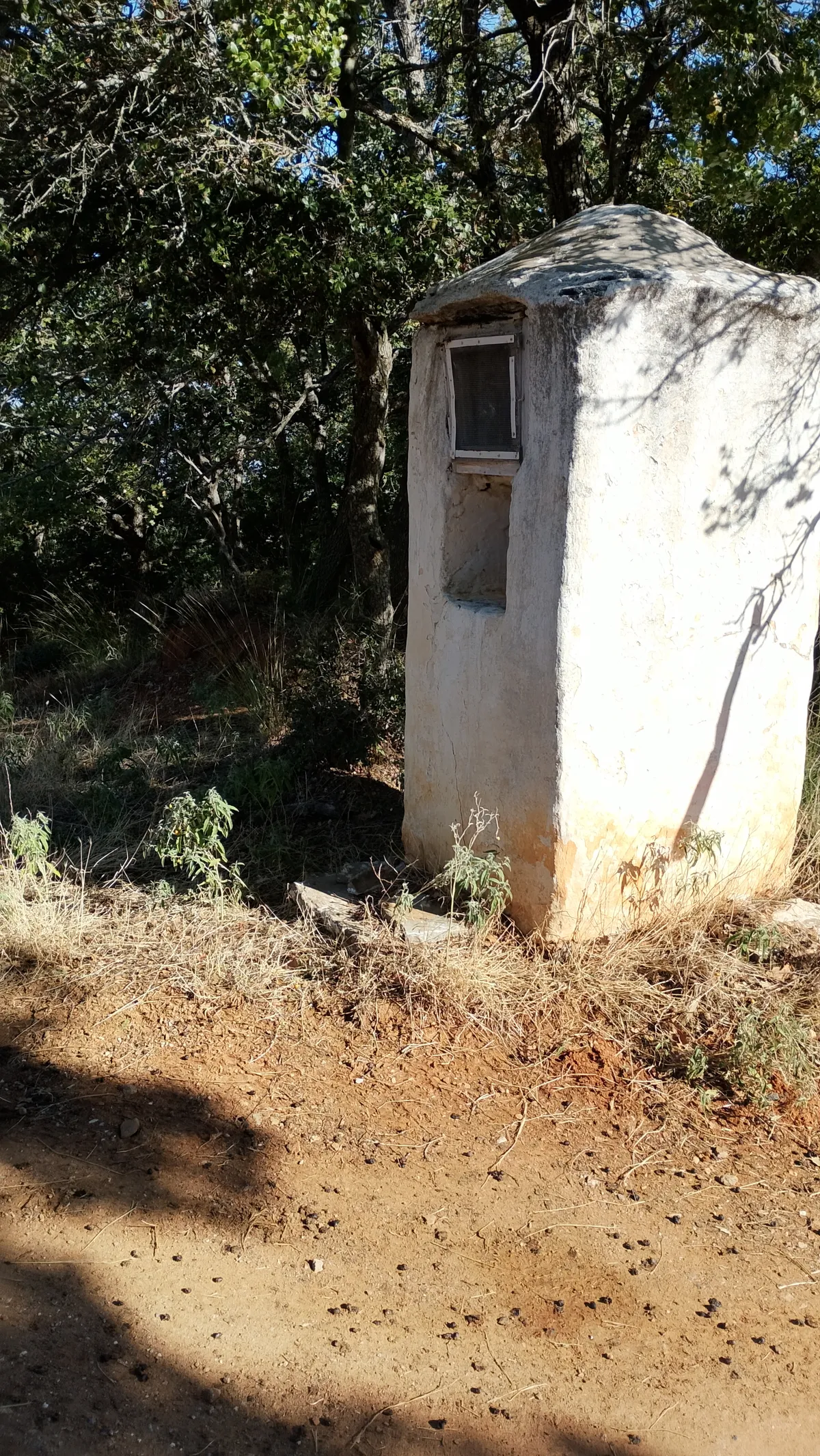
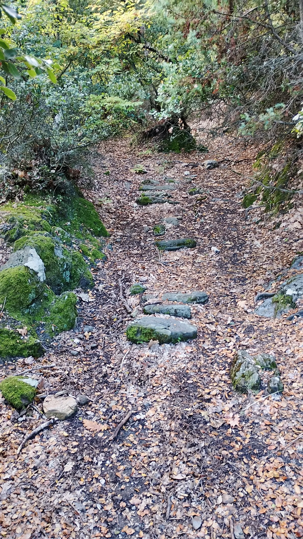
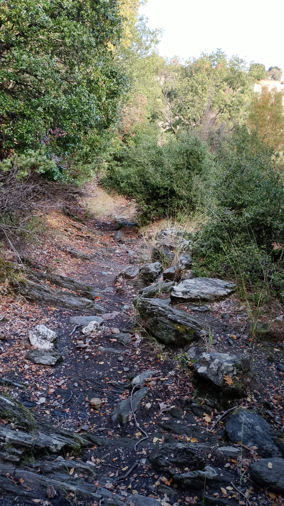
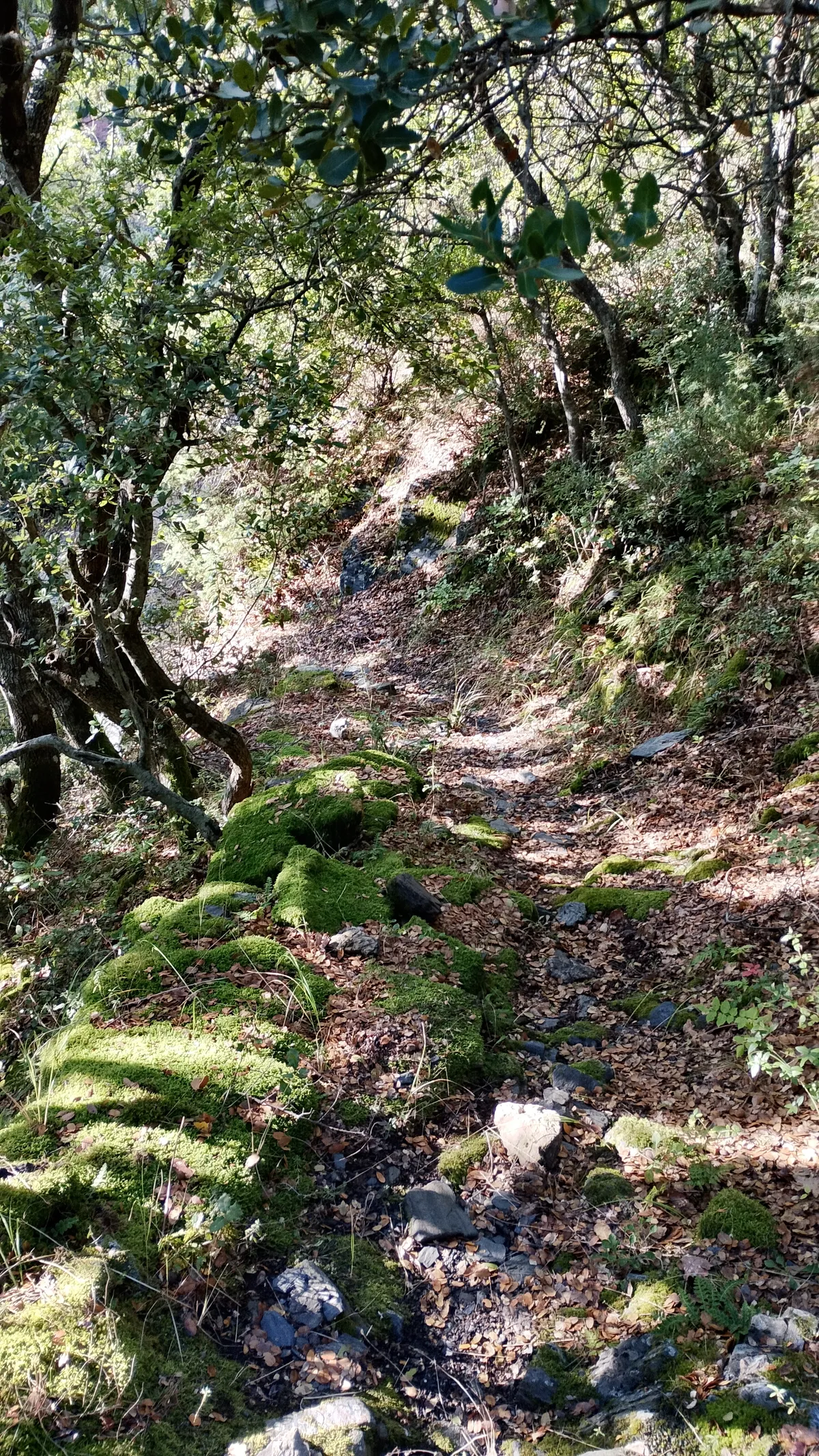
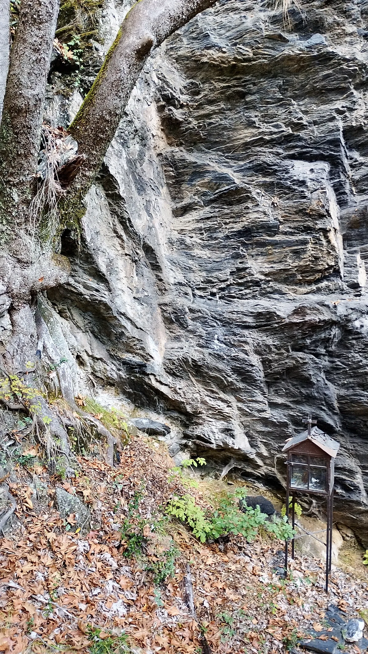
Starting from the central square, we head downhill to the north along a paved alley and eventually enter a nice trail that leads to the stream bed. On the opposite side, a steep and eroded path climbs up, which later turns into a dirt road, passes next to a sheepfold, and ends at a ridge with a shrine, where it meets a wide agricultural road. Up to this point, there is ribbon trail marking. We cross it and, without a path, we move to the other side of the ridge, where we find the road heading to Agia Triada. Here, on the left side of the road, care is needed to spot the beginning of the old trail, which is initially a bit overgrown with vegetation, but quickly clears up and enters a forest, gently descending into a ravine. It continues wide, ascending, and meets the road again just before the chapel. It is also worth visiting the Holy Spring (Agiasma) located inside the gorge. The trail starts to the right of the toilets, and we initially follow a faint track on a very steep slope with sparse vegetation. Once we reach the forest lower down, we find the path which now descends smoothly to the stream bed, where the Holy Spring of Agia Triada is located among steep cliffs. The return journey can be made via the same route, or by following forest roads to descend back to the river, where we will take the path back to the village.
Waypoints
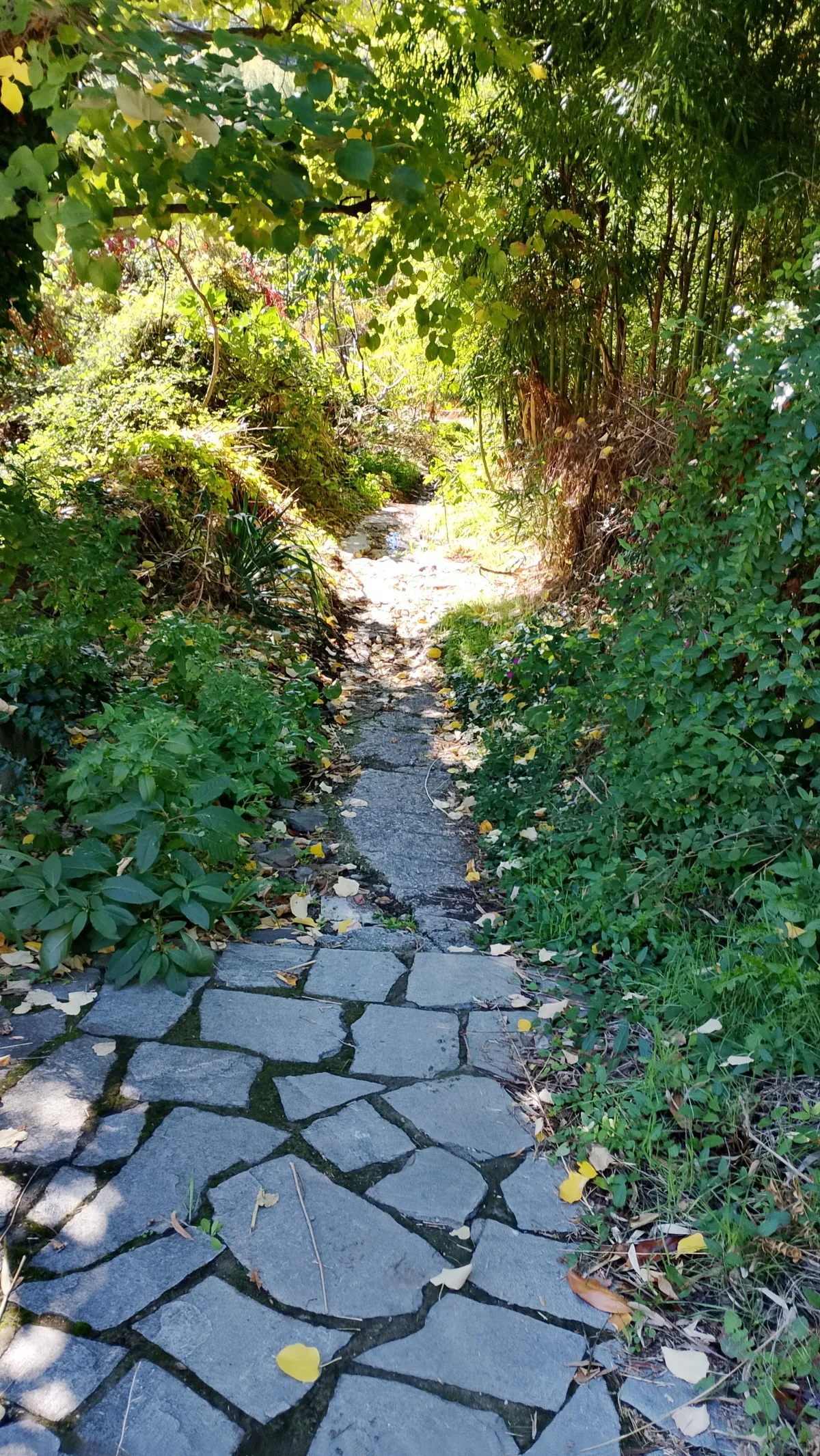
Stream
Footpath from village leads to stream
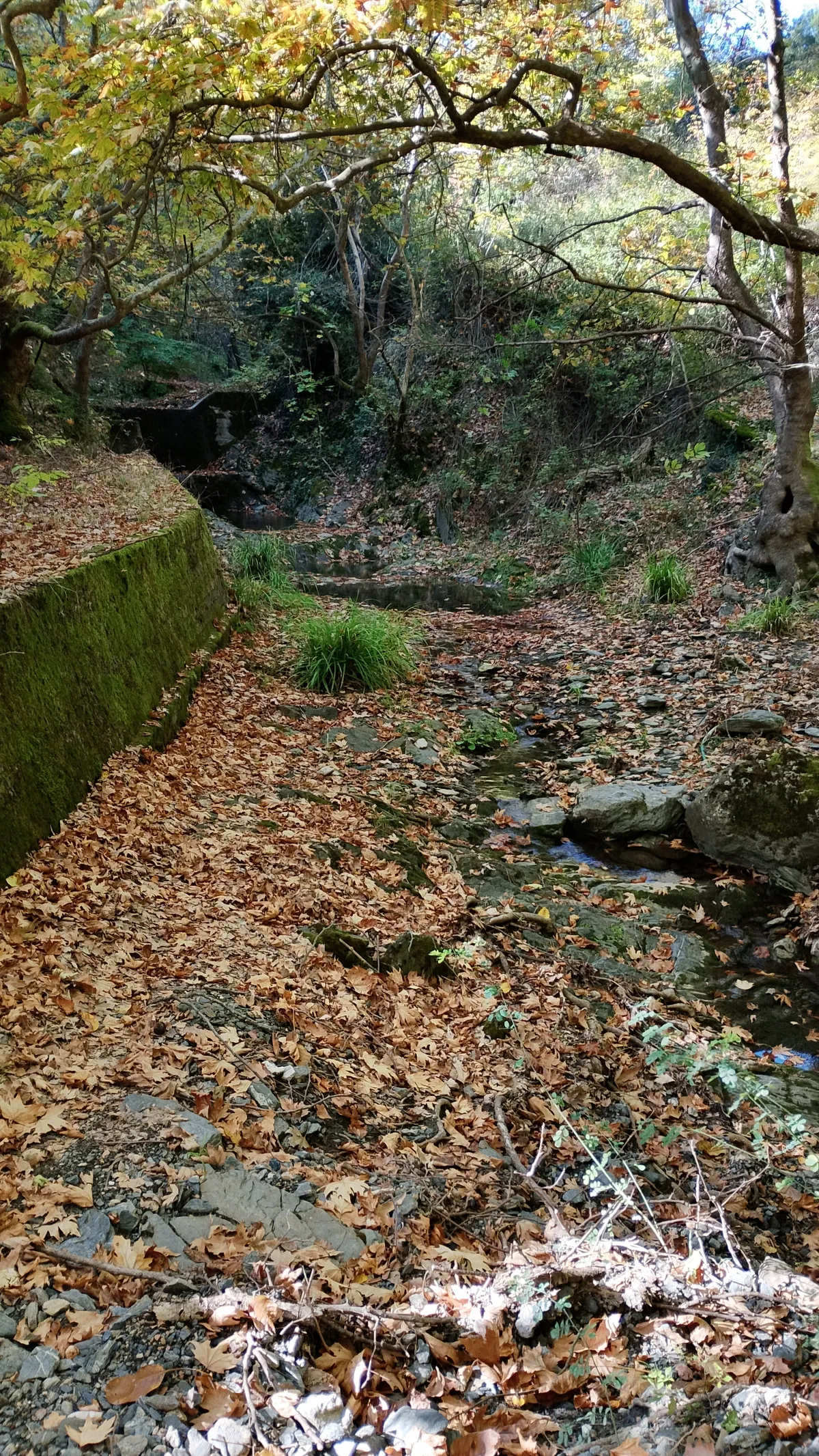
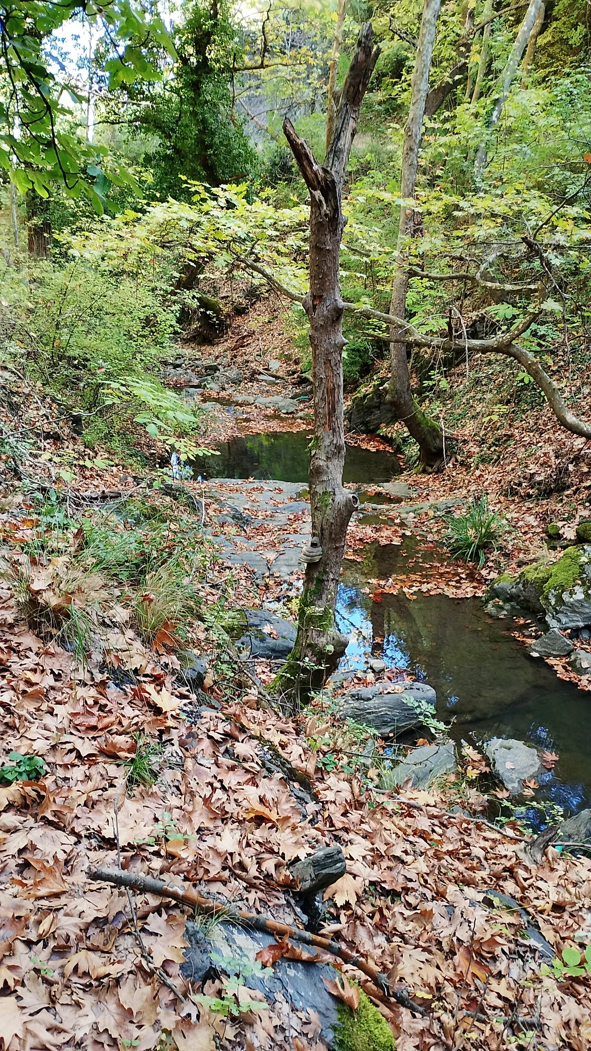
Agiasma
The location of Holy Spring inside the gorge
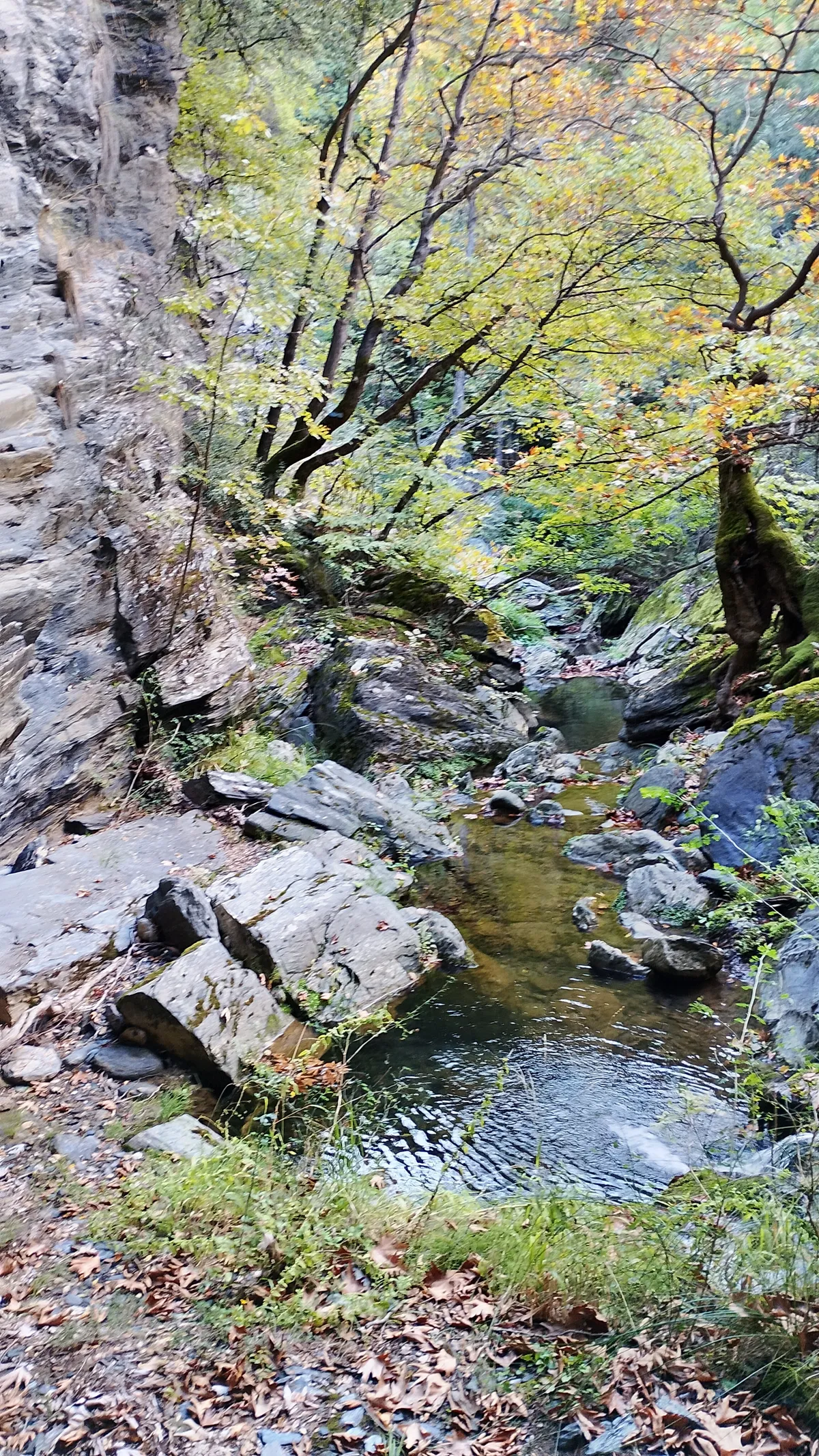
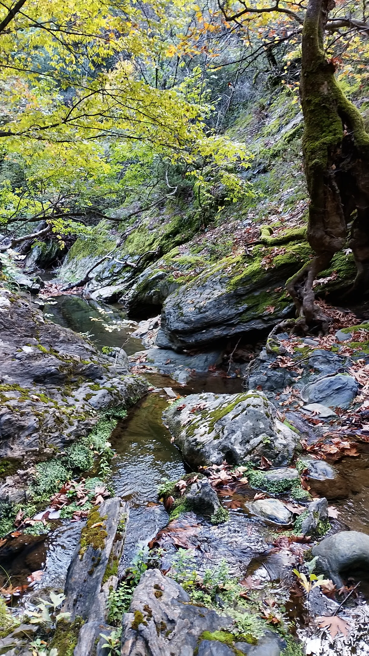
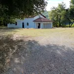
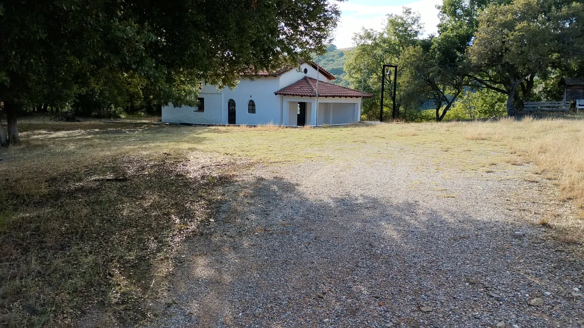
Ag. Triada
Chapel of Agia Triada