
- Distance: 15.7 km
- Duration:
- Elevation Profile: show
Overview
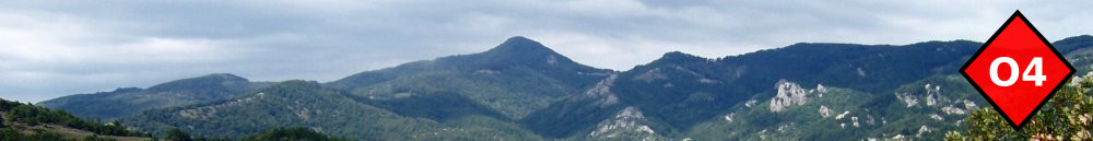
Moderately interesting hiking mostly on roads.
Description
The shortest route among the two villages is now the national road to Poligiros and it will take you about two and a half hours (10km) to reach Galatista. The proposed route avoids the busy road and the cultivated valley along it but is significantly longer.
From the center of the village cross the large bridge and follow a track south to join the national road. Turn left and then right and follow a dirt road ascending gently to a saddle. Continue downhill through forest to joint the paved road from Vavdos and then again the national road by a power station. Cross the road and follow a path among fields to join a rough track a few meters ahead. Turn left and follow the track westwards for 2.5km until you encounter a shrine on your left hand.
Turn left and follow a broad path gently downhill. This is presumably a section of the old Byzantine road justified by its supporting wall and remains of cobblestone pavement and drainage channels. You finally emerge above a leisure area where you join a paved road coming from the village. Follow this to reach the central square.
Amenities
There are shops, tavernas, pharmacy and medical facilities in Galatista. Since there is no accommodation, if you do not wish to camp here, take the bus to Thessaloniki or Poligiros/Arnea and come back the next morning.
Signposting
None.
Transportation
Galatista is served rather frequently by the regional bus (KTEL) of Chalkidiki. There are two lines passing by Galatista. One is going to Poligiros and southern Chalkidiki and the other going to Agios Prodromos - Arnaia and northern, eastern Chalkidiki.