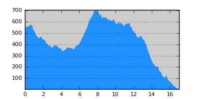
- Distance: 17.0 km
- Duration:
- Elevation Profile: show
Overview
A demanding but very interesting crossing of Stratoniko range largely on footpaths.
Description
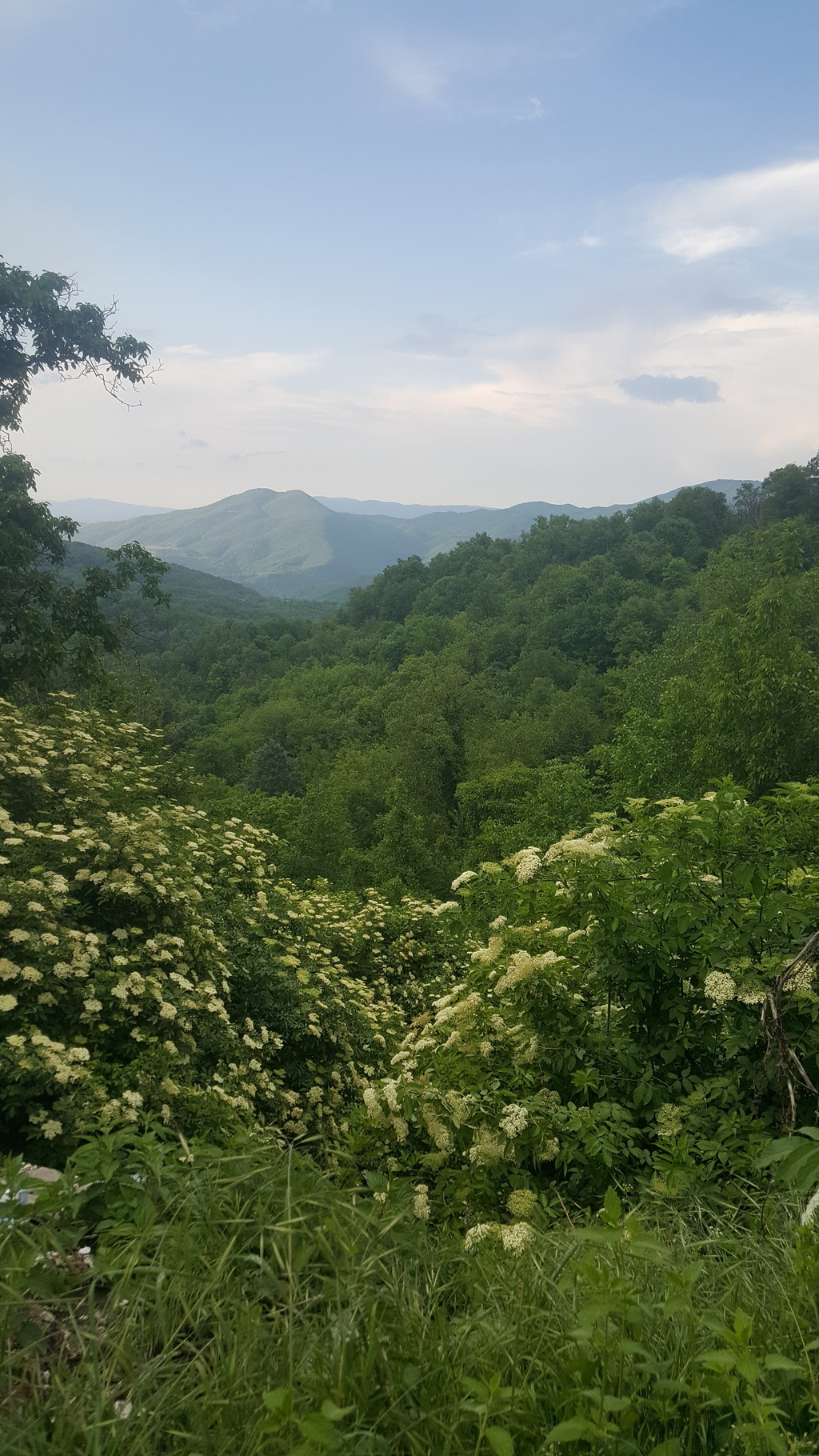
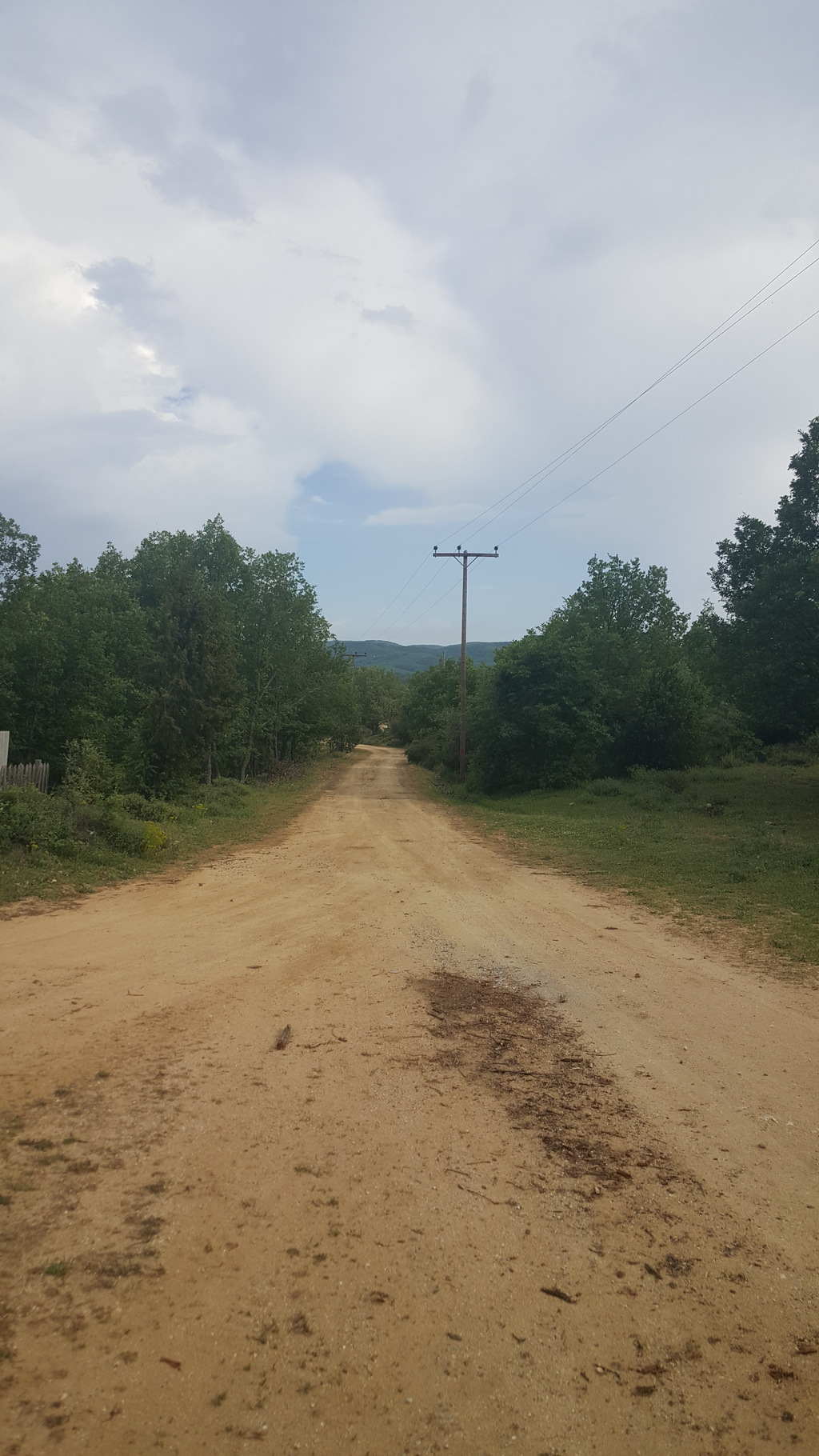
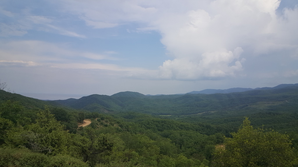
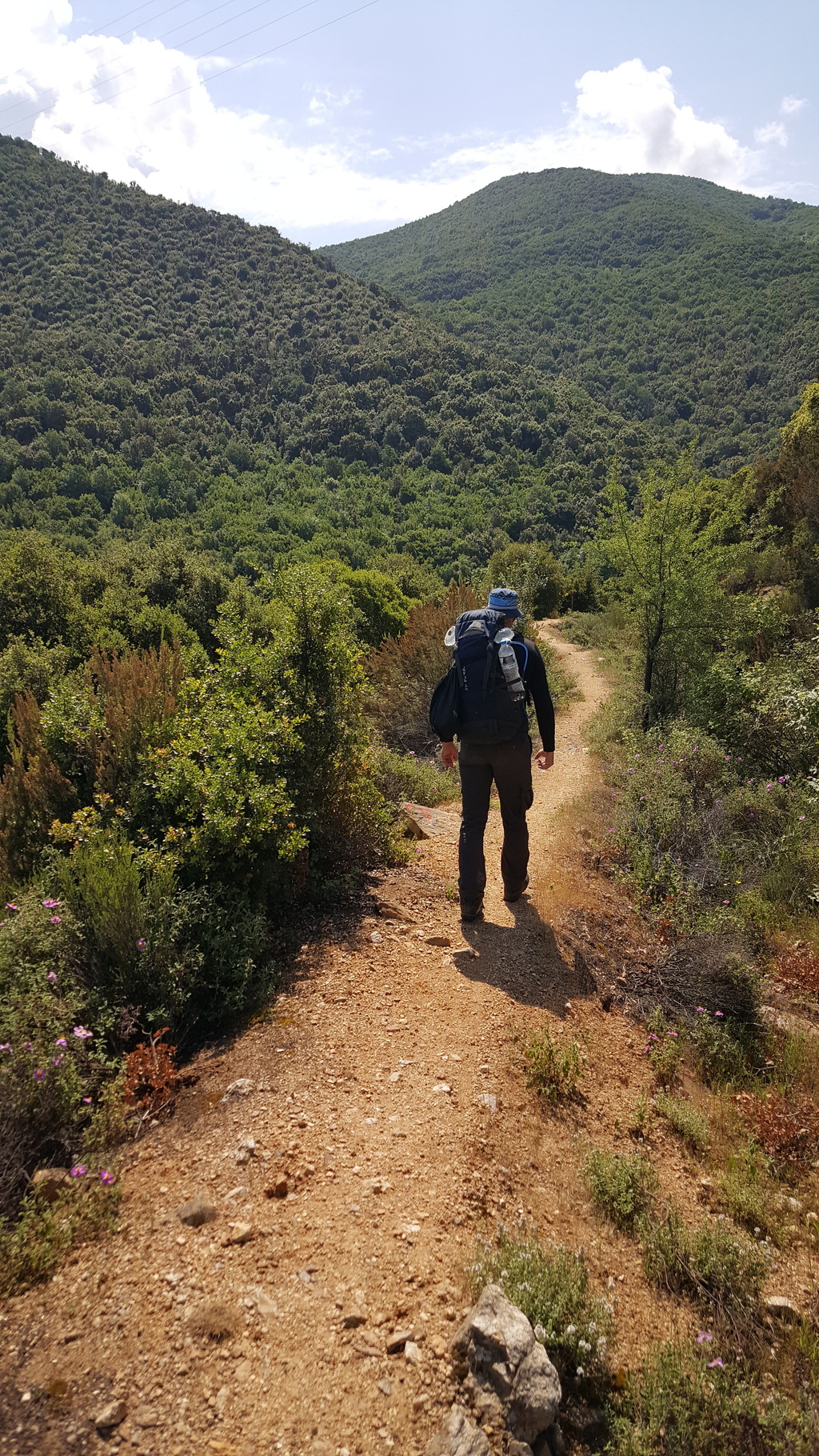
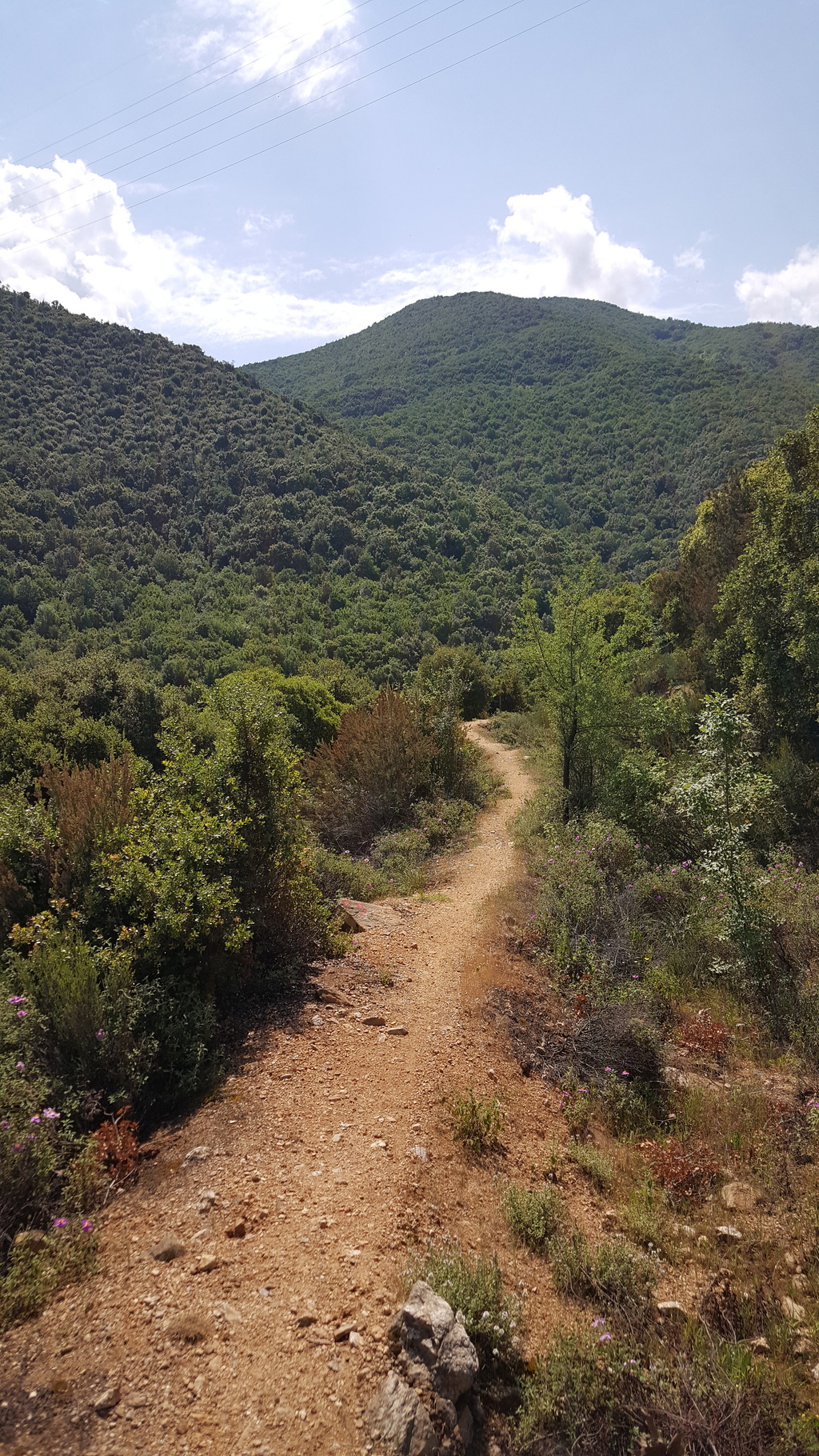
From Varvara square follow signs to Olimpiada. After 500m when the road starts to bend right stay left on a broad footpath, downhill along a ridge, through sparse oak forest. After about 1.5km, by a clearing, there is a tricky junction where you have to bear left on a faint path that soon becomes clear again descending with switchbacks. The right branch will also do but it is quite steep. Soon you emerge on a stream bed. Cross the stream and continue uphill on a less distinct path across a rocky area on the edge of the forest. Soon the path becomes clear and joins a dirt road. Turn left and continue on the road among pine trees. Continue north across the broad valley formed by the north and south sections of Stratoniko range. Sougliani the highest peak of the north section is visible ahead.
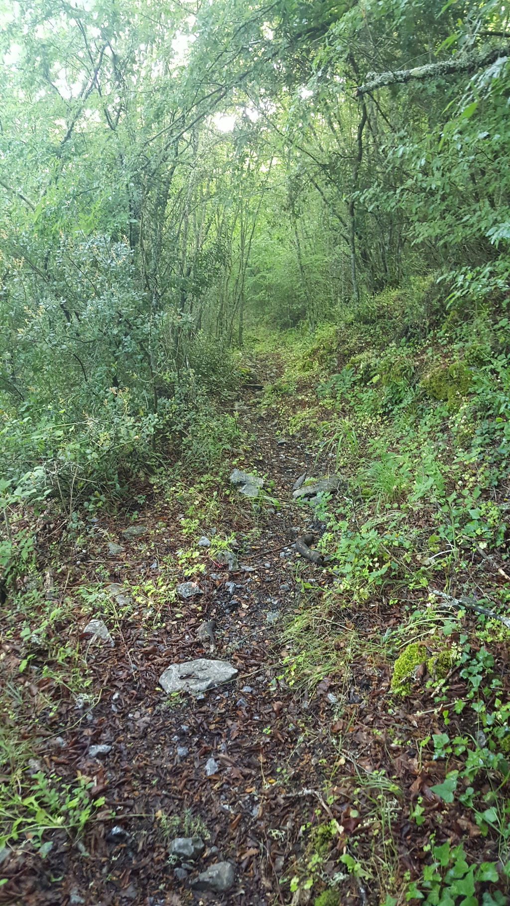
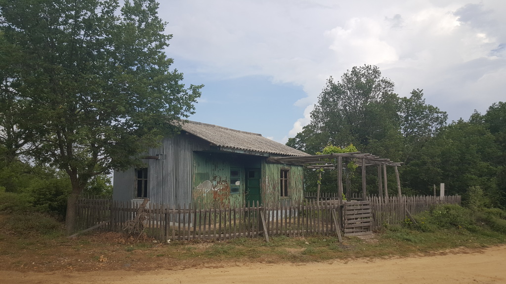
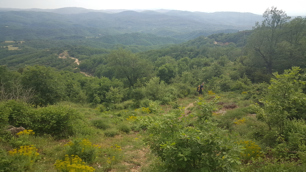
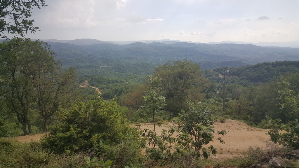
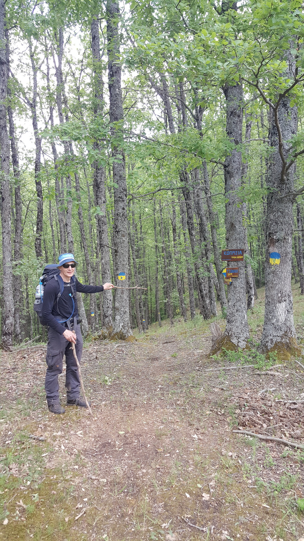
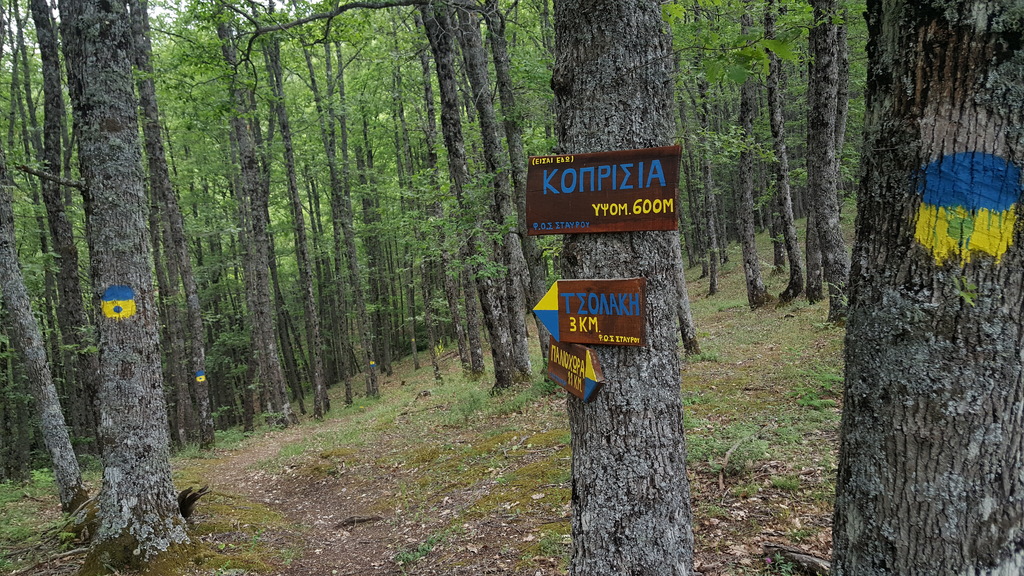
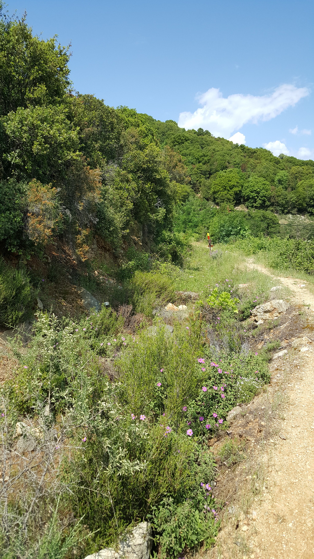
Immediately after passing a green shack at a junction, leave the road and continue on an eroded path straight ahead along a power line. The path follows a long ridge and crosses the dirt road several times (steep at places). It is adequately waymarked with ribbons. Eventually after meeting the road for a fourth time by a small manmade structure turn right along the road (the waymarked path continues towards Sougliani peak). After about 2km where the road turns steeply right downhill stay left on a rough track soon becoming a narrow path. This is a very nice path through dense beech forest. After crossing a small stream you start climbing gently to end up on a ridge. Another path joins from the left. Turn right and start descending to the other side of the ridge across an area that was recently clear cut but now the forest has revived. Join a forestry track and follow it to the left to end up on a saddle at Paliohori (gr. old village) with a small hut and nice views of Stavros and Strimonikos gulf ahead.
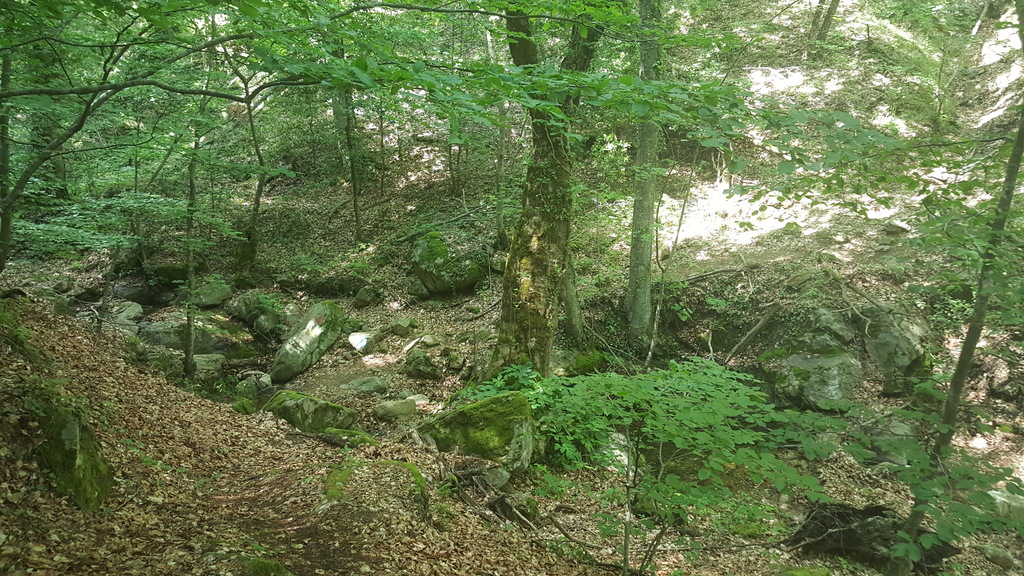
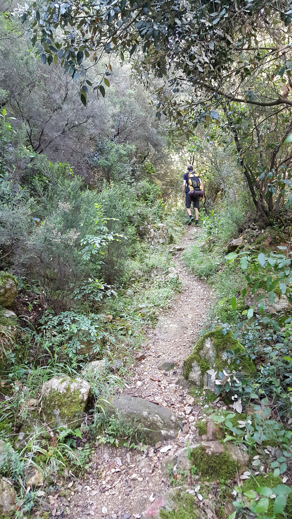
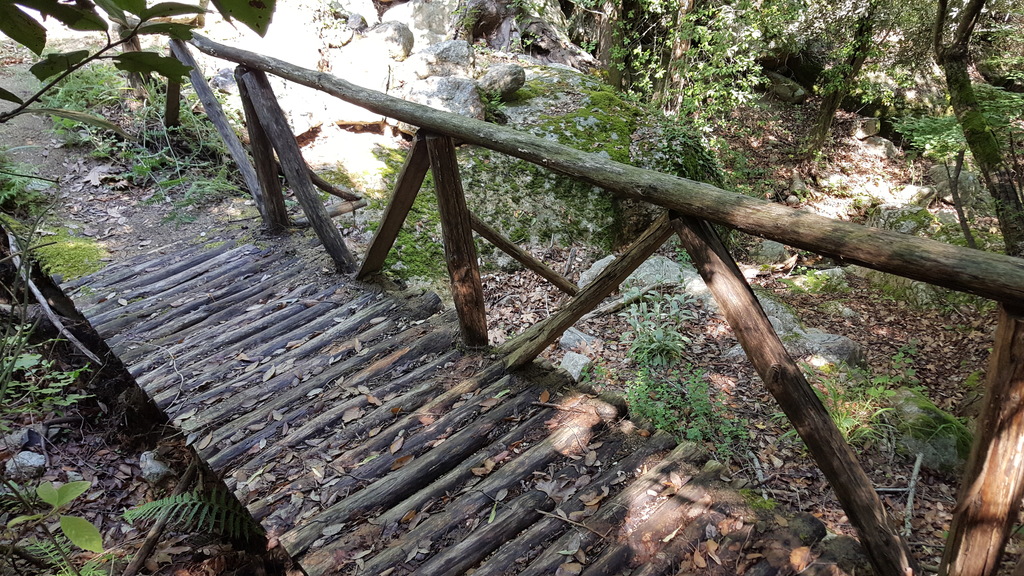
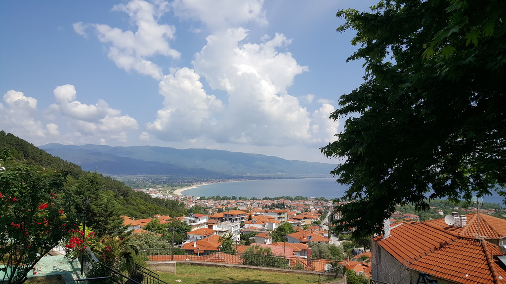
Two dirt roads descend to the other side of the ridge. Take the right branch but after 100m by a signpost turn left along a footpath, descending steeply to a gully. The signposting from here on is very good. Continue through dense forest along the gully crossing it a couple of times to finish above Ano Stavros at Agnanti restaurant overlooking the village. Cross Ano Stavros and continue to Stavros along the paved road.
Amenities
Stavros and nearby settlements of Olimpiada, Nea Vrasna are tourist hubs with plenty of accommodation and dining choices.
Signposting
First part way-marked sparsely with ribbons. Second parts is well marked with blazes.
Transportation
Stavros is served by Thessaloniki-Asprovalta bus.