
- Distance: 10.4 km
- Duration:
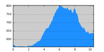
- Elevation Profile: show
Description
Officially the route passes from the top of the hill that is visible to the west of the town (good views). You can take the road to Ag. Panteleimon chapel and then the forest track (I have not surveyed this). Then go down the other side of the hill to reach the saddle visible ahead. Alternatively take the main asphalt road to Dasoto and after 1.5km turn right along a paved track also leading to the saddle. There are misleading signs here that point along the track on the other side of the saddle, but this route is much longer. Instead turn left along a smaller track (mostly shaded) that bypasses the hill ahead from the south and reaches another saddle and junction. Now properly signposted the route leads to the stream just below the village. Follow an indistinct and a bit overgrown path across the stream to emerge at Dasoto village.
Amenities
Not much in Dasoto. For restocking the next village is Kato Vrontou.
Transportation
Infrequent local bus to Nevrokopi and Kato-Vrontou.(Tel: 25230-22511)
Signposting
Generally sufficient but also misleading since it follows a partly different route.