
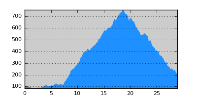
- Distance: 28.9 km
- Duration:
- Elevation Profile: show
Overview
A pleasant and shaded traverse of Krousia range.
Description
From Rodopoli follow signs to Theodorio. The first section is 6km on paved road but the walk along a nice forested valley is pleasant. Once in Theodorio village turn right over a small bridge (correctly marked) and continue to the cemetery. Turn steeply left and continue on the dirt road along the ridge soon entering the forest. Passing a saddle at about 750m the road turns on the other side of the main mountain ridge and continues along it to a junction. Turn right here continuing along the ridge until you encounter a tin hut on the side of the road. Now turn right again and start descending through forest and hopefully nice distant view of Doirani lake. Commence the walk in Miriofito square.
Amenities
There is not much in Miriofito. Move on to Doirani or Mouries railway station.
Transportation
The area is served by an infrequent bus from Kilkis (23410 22311). Alternatively take a taxi to Mouries railway station (two daily trains) or Doirani (one daily train) (www.ose.gr).
Signposting
The route is signposted but at a couple of key junctions signs are missing or are misleading.