
- Distance: 34.1 km
- Duration:
- Elevation Profile: show
Overview
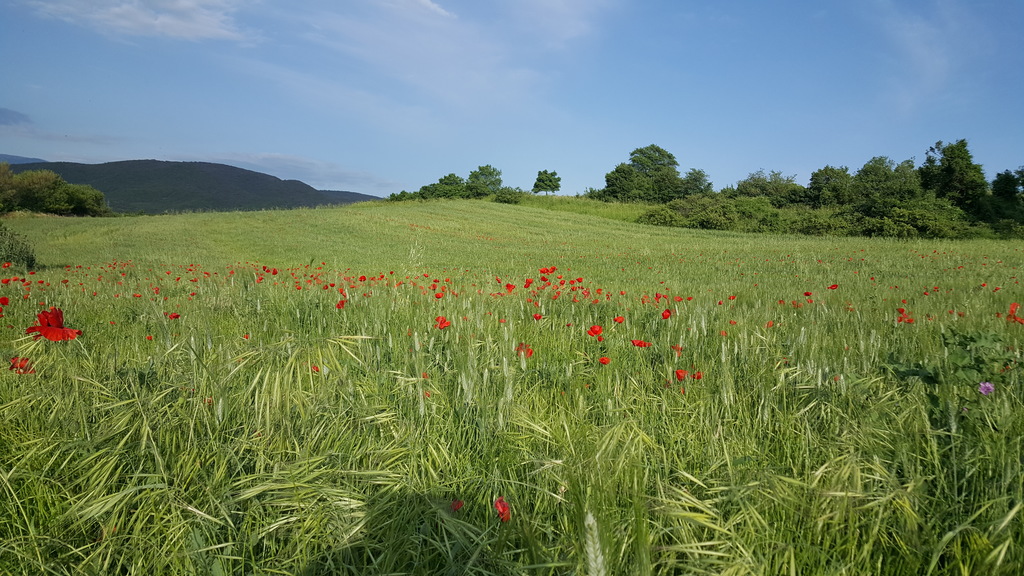
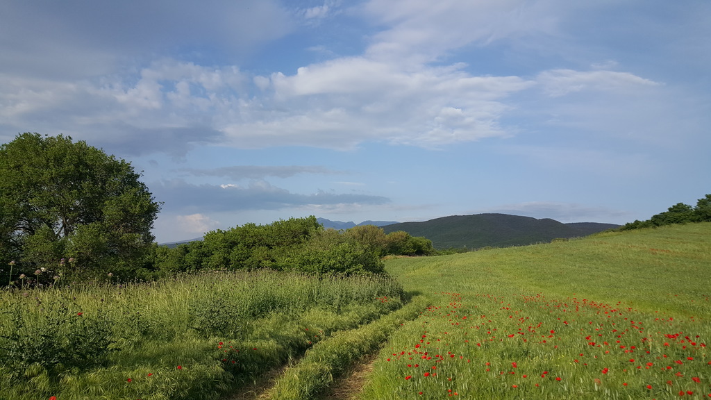
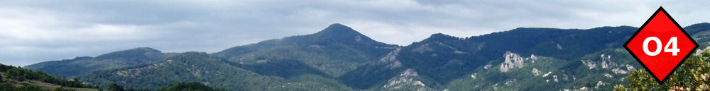
A long traverse of the Kerdilia range from Strimonas valley to the heart of the mountain at 1000m altitude.
Description
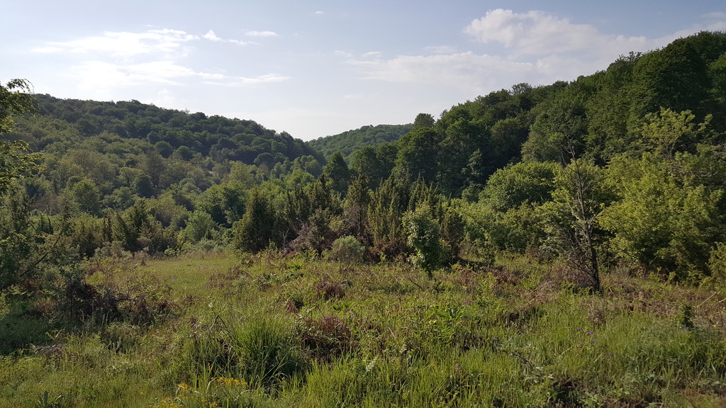
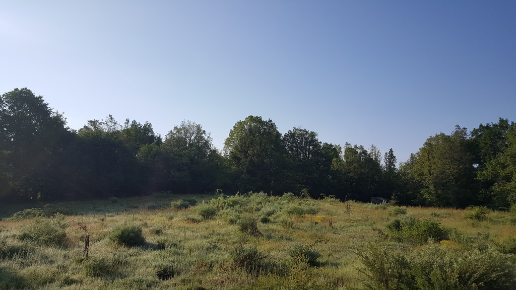
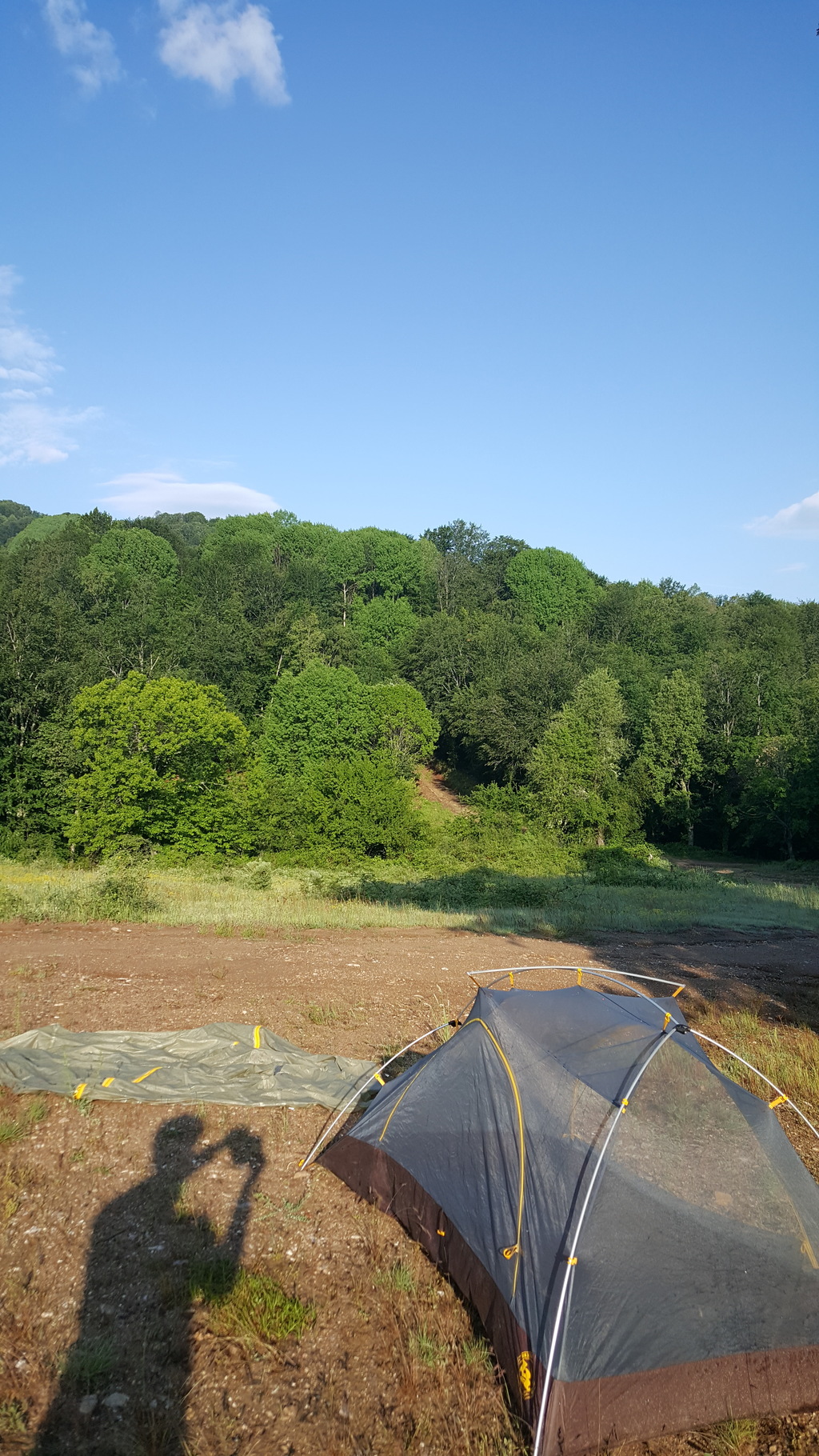
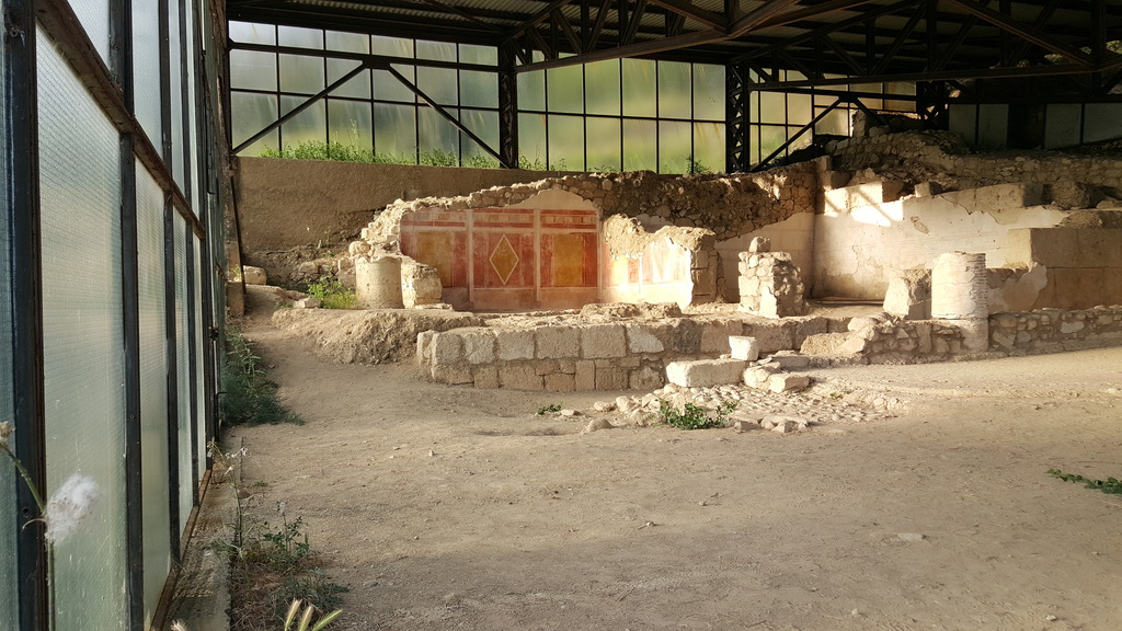
Follow a track south of the village over a hill through olive groves to join the old highway. Turn right and continue for 400m to cross Strimonas river over the old bridge and past the famous Amfipolis Lion monument. Turn right and after a while leave the tarmac and follow the track along the embankment of Strimonas. Eventually cross the national road and continue on a track to reach a pen. After 100m leave the track and continue on a footpath across a dry stream. The path climbs to the top of a ridge and continuous steeply to reach the chapel of Ag. Anargiri at Kato Kerdilia (ruins of village destroyed by Germans during WWII). This is a good camping spot and there is a well if you curry a water filter. Continue on tracks and footpaths past ruins and abandoned fields to come to the main ridge where you join the paved road from Nea Kerdilia. After passing the war memorial and the junction to Ano Kerdilia, the road becomes dirt, eventually entering the shade of the forest. The road then roughly follows the main mountain ridge for 20km. You finally turn left to follow a side valley that leads you to a large clearing at the base of the highest peak. This is a good camping spot but there is no water. There is a water tap higher indicated on the map which is also a good camping spot if you do not mind making the detour.