
- Distance: 25.7 km
- Duration:
- Elevation Profile: show
Overview
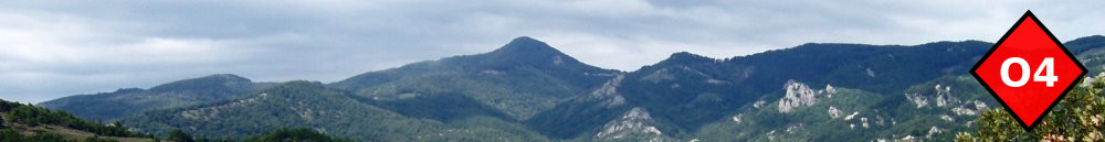
Hiking along the ridge of Symvolo mountains this routes offers splendid views and a surprise descent to Kavala town.
Description
Take a cement paved track on the back of Agiou Eleftheriou church past the school to join a dirt road along the pine covered slopes above the town. Follow a rough track along a ridge and after passing by a waste transfer station join a paved track and turn left along the main ridge. What follows is a long and probably monotonous hike along this road but with very nice views towards the sea and the plane of Philipi. The route is partly shaded. After several kilometers and after passing a telecommunication tower on your right, leave the road to find a path, well trodden by mountain bikes, that will bring you down to the high school of Kavala and then on a junction just below a motorway bridge. Cross the bridge and continue along the wall of the hospital but after a quarter circle on a roundabout leave the road and head towards the gully ahead, along a stone paved path. This is the Ancient Egnatia road and one of its most well preserved segments today in Greece. The path finishes after about 1km by a bus stop. Continue downhill along Egnatia street to reach Kavala promenade.
Amenities
Kavala is a very beautiful and peaceful town with several things to see.
Signposting
None.
Transportation
Frequent service to Thessaloniki, Xanthi and beyond. You may also take the ferry for a visit of Thassos island.